
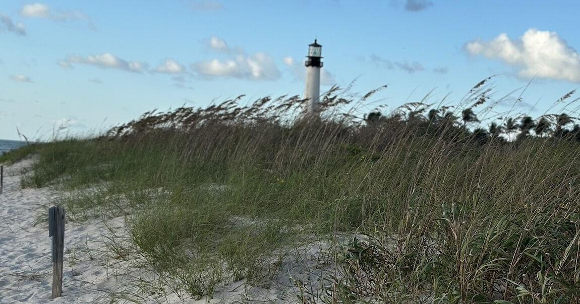
Windy conditions and the potential for King Tide flooding highlight Key Biscayne’s Saturday forecast, with north-northeast winds at 15 to 25 mph and higher gusts expected throughout the day.
Skies will be partly to mostly cloudy, with isolated afternoon showers possible. Today’s high will be near 81 degrees.
The National Weather Service in Miami has issued three coastal weather alerts affecting coastal Miami-Dade County, including Key Biscayne:
– Coastal Flood Advisory: Remains in effect until 2 a.m. Sunday.
– High Rip Current Risk: Remains in effect through Monday evening.
– Coastal Flood Watch: Remains in effect from late Saturday night through Monday evening.
Coastal flooding could lead to road closures and inundation of low-lying properties, including homes, businesses and critical infrastructure. Some shoreline erosion is also possible.
Dangerous rip currents can sweep even experienced swimmers away from shore into deeper water. Beachgoers are urged to avoid swimming in hazardous conditions.
– Sunrise: 7:24 a.m.
– Sunset: 6:44 p.m.
Tonight, a few clouds with a low near 71 degrees and north-northwest winds at 10 to 20 mph.
Sunday, morning showers are possible, followed by scattered thunderstorms during the afternoon. The high will be around 79 degrees, with north-northeast winds at 15 to 25 mph. There is a 70% chance of rain, with rainfall totals potentially reaching one inch.
For hour-by-hour Key Biscayne weather updates and local radar, click here.
Saturday’s Key Biscayne weather forecast