
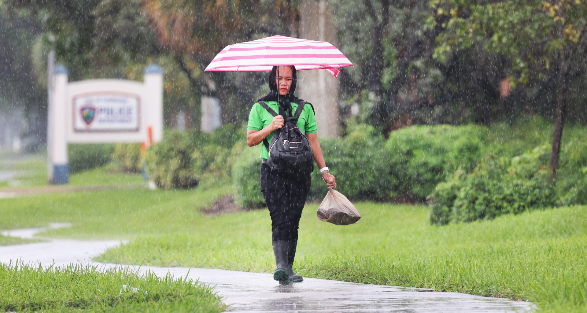
After a weekend marked by consistent downpours, South Florida will see more rain in the beginning of the week before tapering off into drier conditions at the end of the week.
Rain chances on Tuesday will be between 70% and 80%, with a possibility of some areas seeing as much as 9 inches of rain.
“That is definitely our worst-case scenario,” said Alejandra Garcia, a meteorologist with the National Weather Service in Miami.
A flood watch in effect for South Florida on Monday may be extended. Heavy rain could lead to “street flooding, road closures and limited impact to structures in flood-prone areas,” according to the National Weather Service.
The “most common amounts” of rain seen over the next two days will be between 1 to 3 inches, Garcia said.
Rain is most likely to hit in the afternoon, Garcia said, unlike over the weekend when rain pelted the region for hours.
On Wednesday, rain chances drop to between 40% and 50%, with chances dropping even more on Thursday to between 20% and 30%. Rain chances on Friday are between 10% and 20%.
While rain chances are forecast to decrease as the week progresses, temperatures are expected to gradually increase, Garcia said.
High temperatures in the beginning of the week will be in the low 80s and rise up to the mid-80s toward the end of the week with some interior areas hitting close to 90.
Low temperatures will be in the mid to low 70s, Garcia said.
These temperatures are normal for this time of year, Garcia said.
“I wouldn’t say we’re above anything that’s glaringly below or above average,” she said.
Here’s the five-day forecast for Broward and Palm Beach counties, summarized by AI based on information from the National Weather Service. All text is reviewed and edited by our journalists.
Tuesday: Forecasts call for showers and thunderstorms likely, mainly before 4 p.m., then showers likely and possibly a thunderstorm after 5 p.m. in Broward, while Palm Beach County can expect a chance of showers and thunderstorms before 2 p.m., then showers likely and possibly a thunderstorm between 2 p.m. and 5 p.m., then a chance of showers and thunderstorms after 5 p.m. Highs will be around 83 degrees. Expect east winds of about 14 mph.
Tuesday night: Overnight lows will drop to around 74 degrees.
Wednesday: Forecasts call for a chance of showers and thunderstorms, then showers likely and possibly a thunderstorm after 1 p.m. in Broward, while Palm Beach County can expect showers likely, with thunderstorms also possible after 7 a.m. Highs will be around 83 degrees. Expect east winds of about 7 mph.
Wednesday night: Overnight lows will drop to around 73 degrees.
Thursday: Expect a 20% chance of showers and thunderstorms after 1 p.m. across the region. Highs will be around 84 degrees. Expect winds of about 5 mph.
Thursday night: Overnight lows will drop to around 72 degrees.
Friday: Expect sunny skies across the region. Highs will be around 84 degrees. Expect northwest winds of about 5 mph.
Friday night: Overnight lows will drop to around 70 degrees.
Saturday: Expect sunny skies across the region. Highs will be around 83 degrees.
Saturday night: Overnight lows will drop to around 70 degrees.