
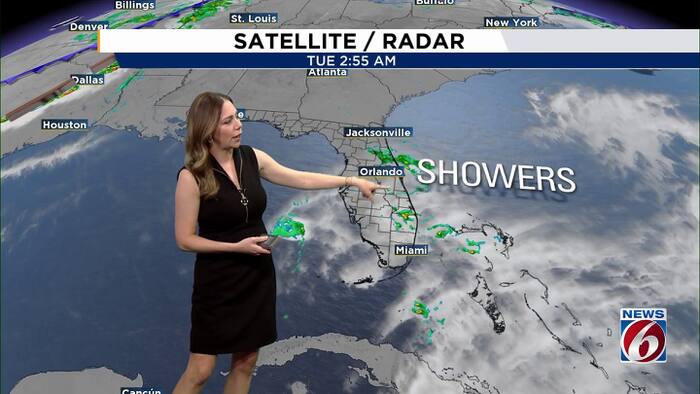
ORLANDO, Fla. – After several days of relentless rain, Central Florida is finally heading toward a drier weather pattern. Scattered showers and a few storms will still develop Tuesday and Wednesday, but widespread heavy rainfall is becoming less likely.
Rain chances will continue to drop through the end of the week, setting up a mostly dry weekend ahead of a possible cool down.
Tuesday & Wednesday
The upper-level disturbance that helped fuel Monday’s extreme rainfall is weakening, and the atmosphere is beginning to settle down.
Rain chances range from 50% to 60% Tuesday and even lower on Wednesday.
Even with the improving forecast, flooding remains a concern in areas that received the heaviest rainfall Monday. A Flood Watch remains in effect for Volusia and Brevard counties until 10 a.m. Tuesday
There will also be breaks of sunshine, allowing temperatures to climb into the lower 80s. East winds will remain breezy, with gusts between 15 and 25 mph.
Drier stretch
Drier air will begin moving into Central Florida Thursday and Friday, bringing rain chances down to 20% or less.
Expect partly to mostly sunny skies with highs in the mid-80s.
Cooler weather ahead?
The next cold front could reach Central Florida late Sunday into Monday, bringing another opportunity for showers and storms. Rain chances are currently around 20% to 30%, although the timing and strength of the front remain uncertain.
Cooler air is expected to follow. Some forecast guidance suggests highs could struggle to reach 80 degrees next Tuesday, with overnight temperatures potentially dipping into the 50s by Tuesday night.
Daily Forecast
The News 6 Weather team ensures you’re always on top of the day’s weather.
Copyright 2026 by WKMG ClickOrlando – All rights reserved.