
1 / 3
SANIBEL-CAPTIVA CONSERVATION FOUNDATION
2 / 3
SANIBEL-CAPTIVA CONSERVATION FOUNDATION
3 / 3
SANIBEL-CAPTIVA CONSERVATION FOUNDATION
[expand]
close
The Sanibel-Captiva Conservation Foundation (SCCF) reported that the staff who maintain its River, Estuary, and Coastal Observing Network (RECON) — a network of water quality sensors deployed throughout the Caloosahatchee and Gulf — check the data daily, as it is posted to the website in near real time.
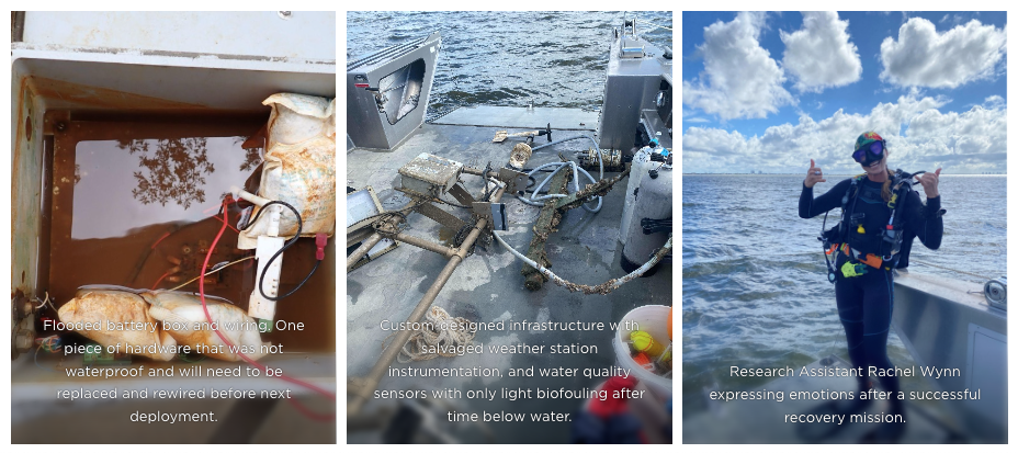
“Recently, the data from our site in the Gulf stopped transmitting. This can happen for a number of reasons, including interruption in cell service, a dead battery or a broken cable,” SCCF Marine Laboratory research assistant Rachel Wynn said.
The SCCF reported that in this case, a boat strike sunk the piling that the sensors were attached to, which had been reported as missing by the U.S. Coast Guard.
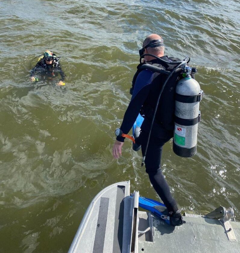
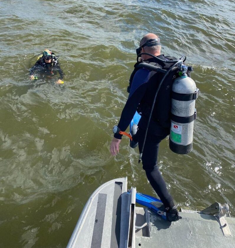
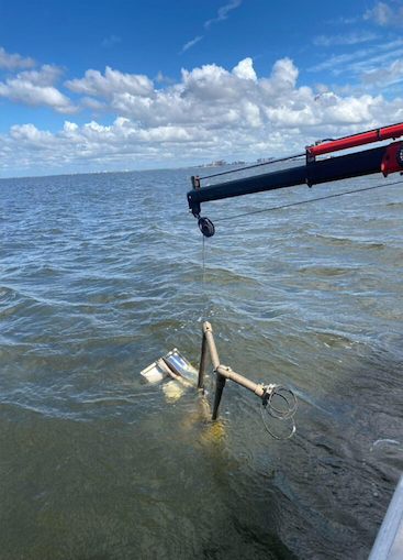
The Marine Lab crew and Facilities & Events Director Jeff Siwicke sprang into action to attempt to recover the sensors. The R/V Norma Campbell, equipped with a crane and a dive team, were used to locate and hoist the equipment from its watery grave.
“The pilings that mark channels are often made of wood, which can float away, and therefore quick action could save tens of thousands of dollars if the sensors can be recovered,” she said. “This piling was made of steel.”
Strong current and poor visibility did not make for an easy search, but the piling was discovered and was wedged into the sand at a 45-degree angle. The team was successful in recovering every piece of instrumentation and hardware because of its quick response.
The water quality sensors are designed to be submerged and were largely unharmed. Unfortunately, the meteorological and solar power system were unsalvageable due to flooding, and the structure on which they were mounted was damaged slightly.
“Given the situation, this was the best possible outcome,” Wynn said.
The SCCF noted that it was not the first time a channel marker with RECON sensors attached has been knocked over after being struck by a boat. The most recent was in 2021 near downtown Fort Myers.
“The navigation pilings are convenient for attaching water quality sensors, and we’ve applied and received permission from the U.S. Coast Guard to install them. However, it also means they are located in areas of high boat and barge traffic,” she said.
The Marine Lab has not yet received a target date of when the Coast Guard will erect a new red SC#2 piling. Once it is replaced, the Marine Lab will reinstall the sensors to bring back water quality and weather data in the Gulf.
To view the real-time RECON data, visit https://recon.sccf.org.