
TALLAHASSEE, Fla. (WCTV) – The rain chances are going to continue as we wrap up the workweek.
Tonight and tomorrow:
Cloudy skies with occasional showers across the Big Bend and South Georgia this afternoon. The rain and clouds have helped keep temperatures relatively cool this afternoon, in the 50s and even the 40s in some spots.
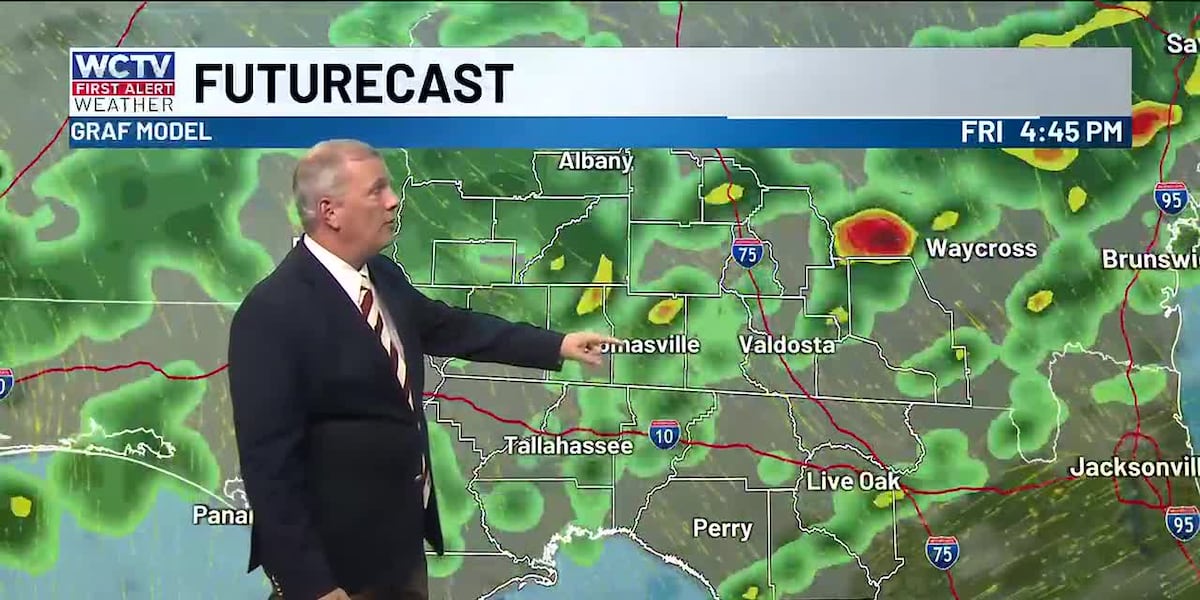
A warm front is expected to lift into the area tomorrow morning, bringing a warm and humid airmass into the region. This may break the clouds up a little. Any heating will increase the chance of thunderstorms in the afternoon. There could be a few stronger storms if the sun comes out. Otherwise, showers and a few thunderstorms are expected throughout your Friday, especially in the afternoon. The chance of rain is 70%.
Highs will be split. 70s in the southern Big Bend, while those in South Georgia will struggle to make it to 60.
More showers this weekend:
Saturday and Sunday, the front will slide to our south, but we will be close enough to the stalled front that overrunning showers and clouds will stick around. This is often a light to moderate persistent rain.
It will not be raining ALL day, but there are going to be times when it is gray and wet outside. This will keep temperatures in the 60s.
It looks like Saturday afternoon and evening will be the best chance for rain, the chance at 80%.
Cooler and drier next week.
⬇️You can also catch the WCTV First Alert Weather team 24/7 and enjoy holiday tunes 🎄on WCTV First Alert Weather Now⬇️
To stay updated on all the latest forecasts and weather, follow WCTV First Alert Weather on Facebook and X (Twitter).
Click here to see all the latest weather headlines and here to view the First Alert Radar. Receive push alerts and watch the latest forecast anytime on the free WCTV First Alert Weather app. Click here to download it now.
Interested in becoming a WCTV First Alert Weather Watcher? Click here to join the team!
Copyright 2025 WCTV. All rights reserved.