
ORLANDO, Fla. – Central Florida is welcoming the shortest day of the year with a warming trend that feels far from wintry.
The average high for this time of year is 73 degrees. We will be a few degrees above that in the mid and upper 70s, so if you’ve been hoping for a cooldown, it doesn’t look like that’s coming soon.
Forecast Highs for Today
Overnight lows will dip to the mid 50s and low 60s.
The seven-day forecast stays consistent, with high temps floating in the mid to upper 70s.
[EXCLUSIVE: Become a News 6 Insider (it’s FREE) | PINIT! Share your photos]
Slight chances for rain
Abnormally-dry drought conditions continue for portions of Lake, Sumter and Marion counties.
Drought Monitor
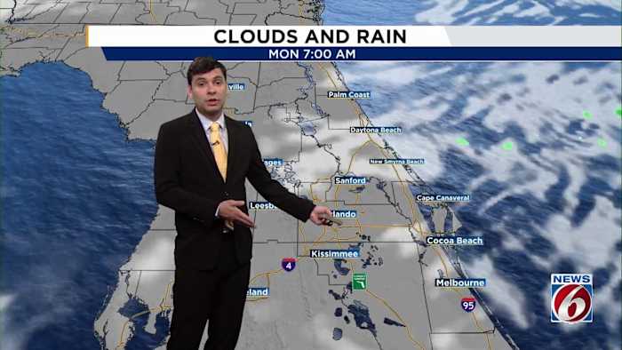
It looks like there is little relief in sight. There is a slight chance for spotty showers on Monday thanks to a cold front that is moving out to the Atlantic.
Rain Chances Next 7 Days
Beyond that, the skies look mainly dry. By Tuesday, sunshine is forecast to return and the rest of the week should stay dry.
If you’re heading out to the coast, there’s a moderate rip current risk today, with 2 to 3-foot surf expected along area beaches.
Moderate Risk for Rip Currents Along the CoastShare your winter solstice photos
Seeing unusual warmth, dry lawns, or getting outside to enjoy the extra sunshine? Show us your winter in Central Florida by sharing pictures with PinIt! at ClickOrlando.com/pins.
[6 THINGS TO DO: Dec. 20-22]
News 6 Weather Insider
More Stories Like This In Our Email Newsletter
Copyright 2025 by WKMG ClickOrlando – All rights reserved.