
Christmas Day forecast for Central Florida
GREAT COMMUNITY. YEAH, WHEN YOU’RE IN THE CLIMBING COMMUNITY, IT’S VERY COOL. ALL RIGHT. I JUST SAID VERY COOL. NOT THE WEATHER. NO, IT’S NOT, AS A MATTER OF FACT. NANCY I’M STARTING WITH THE SEVEN DAY FORECAST. JUST JUST TO PUT THE KIBOSH ON ANY DESIRES FOR A BIG CHILL, AT LEAST IN THE SHORT TERM. SO WEDNESDAY, CHRISTMAS EVE, THURSDAY, CHRISTMAS DAY WILL BE IN THE UPPER 70S NEARLY 80 DEGREES. BUT NOTICE WE DO HAVE COMFORTABLY COOL MORNINGS, RIGHT? LIKE THIS. THIS IS A REALLY NICE FORECAST. WE START OFF WITH SWEATSHIRTS, THEN WE GET T SHIRTS AND SHORTS. BUT I HAVE HAD A LOT OF PEOPLE ASK, SO WHEN DO WE ACTUALLY COOL DOWN? SO LET’S LOOK AT THE AMERICAN GFS MODEL AND THE EUROPEAN MODEL, BOTH NOW CONSISTENTLY SHOWING A TEMPERATURE DIP ABOUT A WEEK FROM TODAY. THIS DROP HERE, THAT’S TUESDAY THE 30TH OF DECEMBER ON BOTH THE GFS AND THE EURO. AND WHAT’S NICE IS THIS MORNING’S LATE MODEL RUNS WERE SHOWING ABOUT THE SAME IDEA PUTTING TEMPERATURES FOR HIGHS BACK INTO THE UPPER 50S LOWER 60S MORNING LOWS IN THE 30S AND 40S. SO WE’RE STARTING TO SEE SOME CONSISTENCY. WE’LL WATCH THIS AFTERNOON’S RUNS AND SEE IF THAT’S THE SAME PLAY, BUT EITHER WAY, WE DO AT LEAST HAVE A COLD FRONT IN THE OFFING. IT’S JUST NOT GOING TO MAKE IT HERE FOR CHRISTMAS. SO LOOKING AHEAD TO CHRISTMAS, HERE’S OUR HIGH TEMPERATURE FORECAST 79 IN OCALA, ORLANDO 75 DEGREES IN NEW SMYRNA BEACH AND 77 IN TITUSVILLE. THIS IS GOING TO BE WARM, NOT AS WARM AS LAST YEAR. LAST YEAR WE WERE IN THE MID 80S FOR CHRISTMAS, AND LAST YEAR WAS THE SECOND WARMEST ON RECORD. SO AT LEAST WE’RE GOING TO BE ABOVE AVERAGE, BUT NOT QUITE THAT HOT. FOR NOW, LET’S TAKE A LIVE LOOK OUTSIDE. WE’RE LOOKING OFF TOWARD I-4 FROM DOWNTOWN ORLANDO. A LOT OF BLUE SKY, BUT THERE’S ALSO A LOT OF BREEZE. IT’S AN 18 MILE AN HOUR SUSTAINED WIND WITH GUSTS RUNNING 20 TO 25. AND I ALSO WANT TO POINT OUT, FOR A LATE DECEMBER DAY, THE AIR TEMPERATURE 79 FEELS LIKE 80. SO WE ACTUALLY HAVE A HEAT INDEX PLAYING IN. GOT TO LOVE THAT FIRST WARNING. LIVE RADAR SHOWING A PATCH OF SHOWERS CROSSING OVER THE BARRIER ISLANDS AND WORKING IN ACROSS COCOA ACROSS THE BEACH LINE THERE AND WORKING OVER TOWARDS SAINT CLOUD. NOTHING STRONG OR SEVERE, BUT WE ARE GOING TO KEEP COASTAL SHOWERS IN OUR FORECAST THIS AFTERNOON AND EVENING. AS FUTURECAST VERY CLEARLY DISPLAYS. SO ESPECIALLY IF YOU LIVE OUT EAST, SOMETHING YOU MAY HAVE TO DEAL WITH. OTHERWISE. TEMPERATURES RUNNING IN THE MID TO UPPER 70S WHICH IS WELL ABOVE THE AVERAGE, AND IT’S A MIX OF CLOUDS AND SUNSHINE. THEN FOR TONIGHT WE’LL TURN OFF THE BREEZE LITTLE BY LITTLE, THUS TURNING OFF THOSE SHOWERS AND TEMPERATURES WILL DROP OFF INTO THE LOWER 70S BY 6:00 60S. AND EVENTUALLY, FOR SOME OF US, EVEN THE 50S NOW, OCALA WOKE UP THIS MORNING TO THE 40S. YOU’LL BE IN THE 50S, 50S AND 60S AROUND, SO TEMPERATURES ARE GOING TO BE A LITTLE BIT MILDER OVERNIGHT TONIGHT. THEN FOR TOMORROW AFTERNOON, A DEGREE WARMER. AND THAT TEMPERATURE CONTINUES TO CLIMB TO NEARLY 80 DEGREES. ON CHRISTMAS DAY. WE’RE GOING TO KEEP THAT AROUND THROUGH THE WEEKEND. COASTAL SEVEN DAY FORECAST SHOWING A FEW MORE SHOWERS IN TH
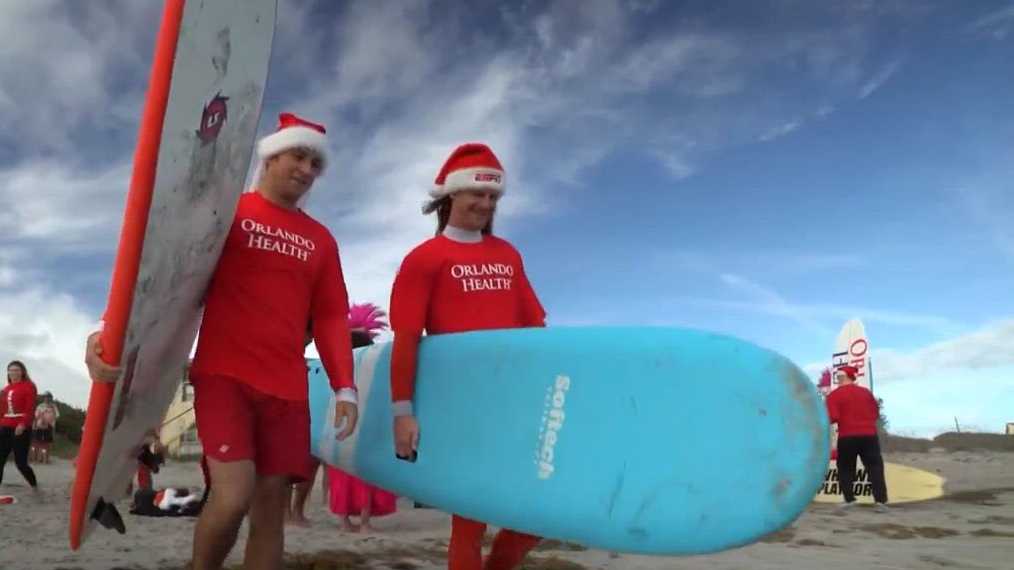
Christmas Day will be warm in Central Florida before a cold front moves in next week. Models show a drop in temperatures starting Tuesday and into Thursday of next week. But before then, the region will see mild temps over the Christmas holiday. OrlandoOn Christmas Day in Orlando, temps will reach the upper 70s. Wednesday: Patchy fog before 9 a.m. Otherwise, sunny, with a high near 78.Wednesday Night: Mostly clear, with a low around 55.Christmas Day: Sunny, with a high near 78. North wind around 5 mph.Thursday Night: Clear, with a low around 56. Friday: Sunny, with a high near 78.Friday Night: Mostly clear, with a low around 55>> Subscribe to the WESH 2 YouTube channelCocoa BeachWednesday: Sunny, with a high near 74. North wind 5 to 10 mphWednesday Night: Mostly clear, with a low around 62. North wind around 5 mphChristmas Day: Sunny, with a high near 75. North northeast wind 5 to 10 mphThursday Night: Clear, with a low around 61. Northeast wind around 5 mphFriday: Sunny, with a high near 75. West-northwest wind around 5 mph Friday Night: Clear, with a low around 60. South wind around 5 mphChristmas weekTravel across USLong-range forecast First Warning Weather Stay with WESH 2 online and on-air for the most accurate Central Florida weather forecast.RadarSevere Weather AlertsDownload the WESH 2 News app to get the most up-to-date weather alerts. The First Warning Weather team includes First Warning Chief Meteorologist Tony Mainolfi, Eric Burris, Marquise Meda and Cam Tran.
ORLANDO, Fla. —
Christmas Day will be warm in Central Florida before a cold front moves in next week. Models show a drop in temperatures starting Tuesday and into Thursday of next week.
But before then, the region will see mild temps over the Christmas holiday.
Orlando
On Christmas Day in Orlando, temps will reach the upper 70s.
Wednesday: Patchy fog before 9 a.m. Otherwise, sunny, with a high near 78.Wednesday Night: Mostly clear, with a low around 55.Christmas Day: Sunny, with a high near 78. North wind around 5 mph.Thursday Night: Clear, with a low around 56. Friday: Sunny, with a high near 78.Friday Night: Mostly clear, with a low around 55
>> Subscribe to the WESH 2 YouTube channel
Cocoa Beach
Wednesday: Sunny, with a high near 74. North wind 5 to 10 mphWednesday Night: Mostly clear, with a low around 62. North wind around 5 mphChristmas Day: Sunny, with a high near 75. North northeast wind 5 to 10 mphThursday Night: Clear, with a low around 61. Northeast wind around 5 mphFriday: Sunny, with a high near 75. West-northwest wind around 5 mph Friday Night: Clear, with a low around 60. South wind around 5 mph
This content is imported from YouTube.
You may be able to find the same content in another format, or you may be able to find more information, at their web site.
Christmas week
This content is imported from Twitter.
You may be able to find the same content in another format, or you may be able to find more information, at their web site.
Travel across US
This content is imported from Twitter.
You may be able to find the same content in another format, or you may be able to find more information, at their web site.
Traveling #ChristmasEve? Here’s a look at the national forecast. Look for airport delays out west as a large storm moves inland bringing heavy mountain snow and rain to the lower elevations. Warm across the southern Plains and a bit snowy in New England. Safe travels! pic.twitter.com/27Kmd3DSey
— Tony Mainolfi (@TMainolfiWESH) December 22, 2025
This content is imported from Twitter.
You may be able to find the same content in another format, or you may be able to find more information, at their web site.
Long-range forecast
This content is imported from Twitter.
You may be able to find the same content in another format, or you may be able to find more information, at their web site.
First Warning Weather
Stay with WESH 2 online and on-air for the most accurate Central Florida weather forecast.
Download the WESH 2 News app to get the most up-to-date weather alerts.
The First Warning Weather team includes First Warning Chief Meteorologist Tony Mainolfi, Eric Burris, Marquise Meda and Cam Tran.