
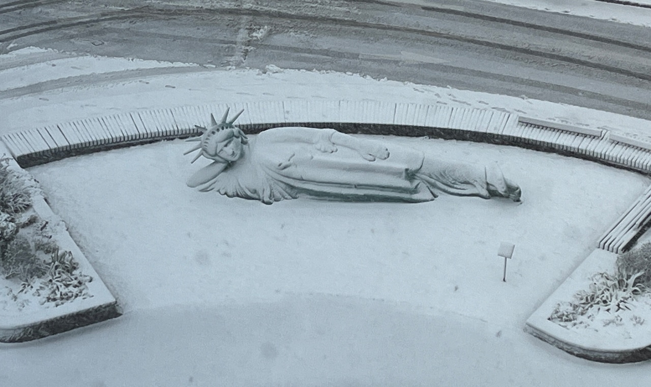
STATEN ISLAND, N.Y. — Staten Island residents should prepare for light snow accumulation late Friday night into Saturday, with less than an inch expected for the borough.
The National Weather Service forecasts precipitation to begin just after midnight, potentially starting as snow before mixing with rain after sunrise Saturday.
According to the National Weather Service, precipitation will begin as snow across the region just after midnight Friday.
For Staten Island, a changeover to a wintry mix or plain rain is expected to occur after sunrise Saturday morning. While areas north and west of New York City may see one to two inches of accumulation, Staten Island is forecast to receive less than an inch of snowfall.
A second chance for snow is possible Sunday, though confidence in this system remains low. The weather service indicates eastern areas of the region have the highest probability of snow on Sunday, with Staten Island on the western edge of the potential precipitation.
Cold temperatures will follow early next week, with highs Monday through Wednesday potentially remaining below freezing and overnight lows dropping into the teens.
The most significant weather impact for New York City will be the cold temperatures arriving next week. High temperatures from Monday through Wednesday may struggle to rise above freezing, with overnight lows Monday and Tuesday nights likely falling into the teens.
Wind conditions will be notable on Friday, with west winds of 15-20 mph and gusts reaching 25-30 mph through early morning before subsiding and shifting to southwest by mid-afternoon. Wind speeds will drop to around 10 mph sustained by evening.
Looking ahead to early next week, the National Weather Service warns of particularly cold conditions. While not record-breaking, temperatures will be significantly below normal, with single digits and teens possible for overnight lows, especially if snow remains on the ground.