
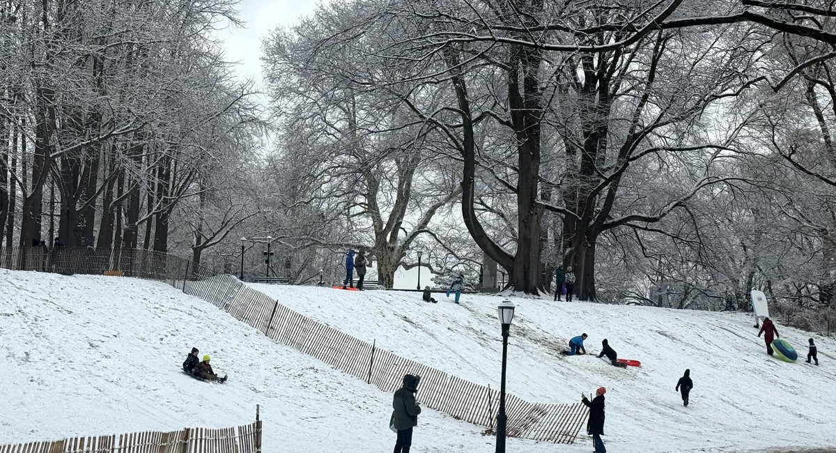
Light snow fell on New York City Saturday afternoon, with some neighborhoods expected to see up to an inch before conditions clear later in the day.
Most of the accumulation was expected north and northwest of the city, said National Weather Service Meteorologist Jay Engle.
While New Yorkers should keep their eye out for slick spots, Engle said a bigger storm was still to come.
Another system is forecast to arrive Sunday afternoon into the evening, dropping as much as 4 inches of snow across the city. Temperatures will drop, too, he said “and then everything will be rock solid frozen.”
The city’s Winter Weather Emergency Plan is being activated, and a travel advisory will be in effect Sunday, according to a social media post by New York City Emergency Management. Residents are urged to plan ahead and avoid travel if possible.
The city is preparing by pre-treating roads and bridges with 700 salt spreaders “operating constantly through Sunday,” according to the city’s sanitation department. Plows will also be at the ready should neighborhoods see more than two inches of accumulation.
The city has already issued a Code Blue weather alert, in effect from 4 p.m. Saturday through 8 a.m. Sunday. Outreach teams will be out in all boroughs helping homeless residents find shelter. Residents who see someone in need can call 311 for help.
After Sunday, temperatures are expected to plunge even further, Engle said. “Some of the coldest air of the season thus far” is likely to arrive Monday and Tuesday.