
Let’s call Saturday the appetizer.
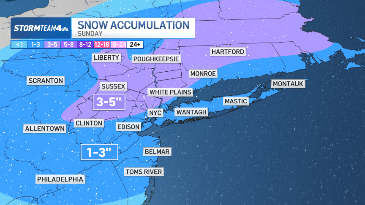
After the city saw roughly an inch of snow to start the weekend, a second event could bring double the amount of snow on Sunday — and the action has already started.
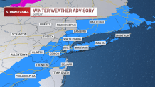
A significant change to Sunday’s storm has now moved its trajectory westward, triggering weather advisories in the event we see truly plowable snow.
Once Sunday’s system clears the region, a rush of cold air will deliver our coldest temperatures of this winter so far.
By Tuesday and Wednesday morning, temperatures in New York City will bottom out in the mid to upper teens. Highs on Tuesday will languish in the 20s! And beyond that, for the balance of the week ahead, we’ll be feeling the chill. Temperatures will be below normal all week long.