
STATEN ISLAND, N.Y.— New Yorkers should prepare for snow accumulation tonight with the heaviest snowfall expected Sunday evening into Sunday night, according to AccuWeather.
Senior meteorologist Tyler Roys warns that the metro area can expect 1 to 3 inches of snow, creating potentially hazardous conditions.
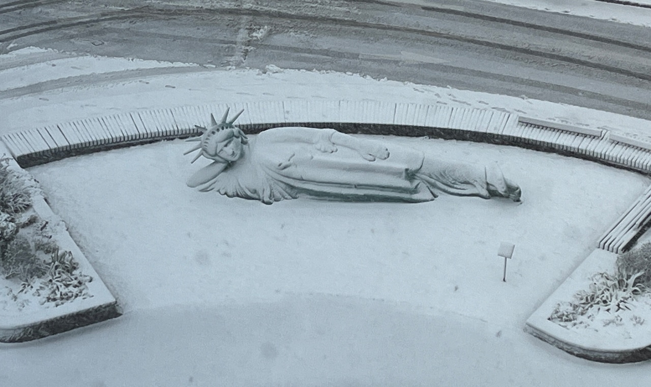 What was expected to be just a dusting is now bringing accumulating snow to the tri-state area, with the heaviest rates hitting during tonight’s commute. Here, snow covers the Corporate Commons Three in Bloomfield.(Advance/SILive.com | Jan Somma-Hammel)
“It’s probably going to be the heaviest across the five boroughs I would say probably between 6 and 9 p.m. Those are when some of the heaviest rates will occur,” Roys said. “…That’s when the best chance for accumulating snow on the pavement is likely to occur.”
The day’s weather pattern will include a brief afternoon reprieve before intensifying again.
“We do expect a break, I would say probably early afternoon, but we expect that snow to kind of fill back in by mid to late afternoon,” Roys explained. “Probably some break anytime between 11 a.m. and 2 p.m. and then snow will start to build back in.”
According to Roys, the storm system tracked closer to land than initially predicted, resulting in accumulating snow rather than just a dusting. “It’s being a little bit closer to land… just close enough to bring accumulating snow to much of the tri-state area,” he said.
While most of the metro area will see 1 to 3 inches of snow, accumulation will vary depending on location. The “urban heat island effect” may limit accumulation in parts of Manhattan.
“The caveat is and the urban heat island effect playing a role, we’re looking at Lower Manhattan struggling to see any true accumulation over an inch,” Roys noted. “All the pavement temperatures that are above freezing or whatnot will have to come down to about 32 degrees or lower.”
For Staten Island and other boroughs, snow will likely begin accumulating earlier, “probably around 3, 4 o’clock,” according to Roys.
Upstate regions can expect similar accumulation amounts.
“So you go anywhere up to Hudson Valley, you go up the freeway, you go up was that New York 17, basically 1 to 3 inches. You get towards Albany, about a quarter to an inch. You get up towards Binghamton, a quarter to an inch from this storm,” Roys said.
The snowfall is expected to taper off by late tonight.
“That really should be coming to an end probably by 11 p.m.,” Roys said. “The last flakes fly and everyone can start to clean up if they wish at 11 p.m.” Temperatures will drop to around 25 degrees overnight, with sunny conditions and highs of about 33 degrees expected tomorrow.
Roys emphasized that residents should avoid travel during the evening hours if possible.
“Basically if you could be off the roads, I would say this evening do so,” he advised. “If you need to go to church, you have afternoon, late morning church services, need to go to the grocery store, whatnot, I would say get all of that done really prior to 5 o’clock. I think once that time for me for much of the area, that’s when stuff’s going to start to go down downhill and things can get very tricky out there.”
Wind impacts will be minimal during the storm, with speeds “generally somewhere between 5 and 15 miles per hour,” according to Roys, who noted that damaging winds are not expected.