
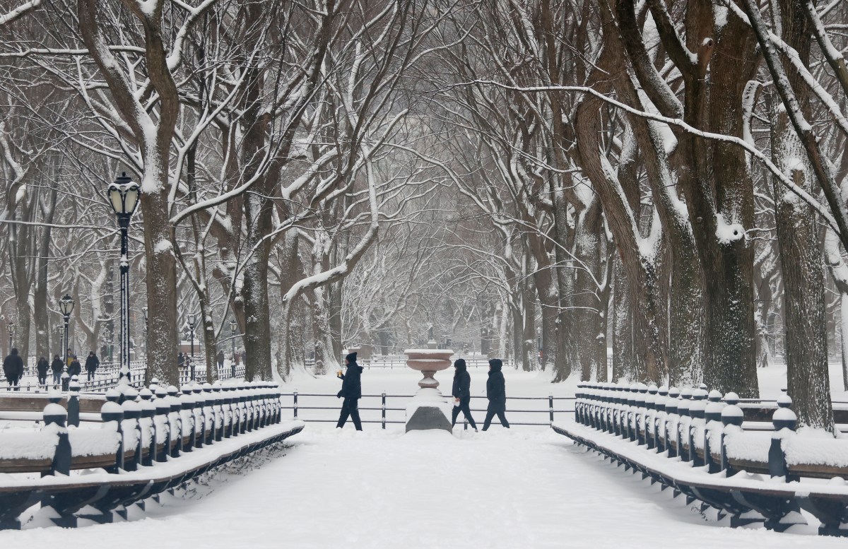
Winter Storm Warnings have been issued across parts of New York and Michigan, with the National Weather Service (NWS) warning that heavy lake‑effect snow and gusty winds could create “hazardous conditions” and make travel difficult from Tuesday, January 20, into Wednesday, January 21.
The NWS has said that heavy snow and strong winds may lead to dangerous travel, snow‑covered roads, and reduced visibility—especially in areas under the most persistent lake‑effect bands.
 Michigan: ‘Stay Indoors Until Conditions Improve’
Up to 4 inches of accumulated snow is expected to fall over Alger, Luce, and northern Schoolcraft Counties—with the highest amount forecast north of M-28—and Barry, Kalamazoo, Lake, and Newaygo Counties could see up to 3 inches of snow, until Tuesday morning.
The NWS warns that, in certain areas, “visibilities may drop below half a mile due to falling and blowing snow.”
Western Chippewa County could see up to 5 inches of snow, and parts of southwest and west Central Michigan up to 4 inches by Tuesday morning, with winds up to 25 mph causing “blowing and drifting snow” and “hazardous conditions” likely to affect the Tuesday morning commute.
New York: ‘Heavy Lake-Effect Snow and Whiteout Conditions’
Areas in the eastern Lake Ontario Region, particularly Jefferson, northern Oswego, and western Lewis Counties, are forecast to get up to 4 feet of localized, lake-effect snow and 35 mph winds—likely to cause blowing snow—until Wednesday afternoon.
The NWS has warned residents that, “Travel will be very difficult to nearly impossible within the heaviest lake-effect snow bands.”
Northern Erie, Genesee, and northern Herkimer Counties are expected to get between 6 and 12 inches of lake-effect snow and 40 mph winds, which could produce “blowing and drifting snow and near whiteouts at times,” until Wednesday afternoon, according to the NWS.
Up to 3 feet of lake effect snow and winds gusting up to 40 mph could blast Wyoming, Chautauqua, Cattaraugus, and southern Erie Counties until Wednesday, with “whiteout conditions expected,” which “will make travel treacherous and potentially life-threatening.”
What Travelers and Residents Should Know
The NWS has issued the following advice for motorists and communities in affected areas of Michigan and New York:
Allow extra time for travel and check the latest NWS updates before departingDangerously low wind chills can cause frostbite on exposed skin, so limit time outdoors and dress in layers.Keep an emergency kit in vehicles, with an extra flashlight, food, and water Winter Weather for New York and Michigan: Summary
The NWS winter storm alerts warn that a period of severe winter weather is expected for major population corridors and key travel routes across the Great Lakes and Northeast.
In Michigan’s eastern Upper Peninsula, forecasters are preparing for periods of lake‑effect snow and areas of blowing snow that could reduce visibility and make travel hazardous through Tuesday morning.
New York is also under a patchwork of winter storm warnings, with the NWS urging motorists to use caution and be ready for quickly deteriorating conditions in the heaviest lake‑effect bands.