
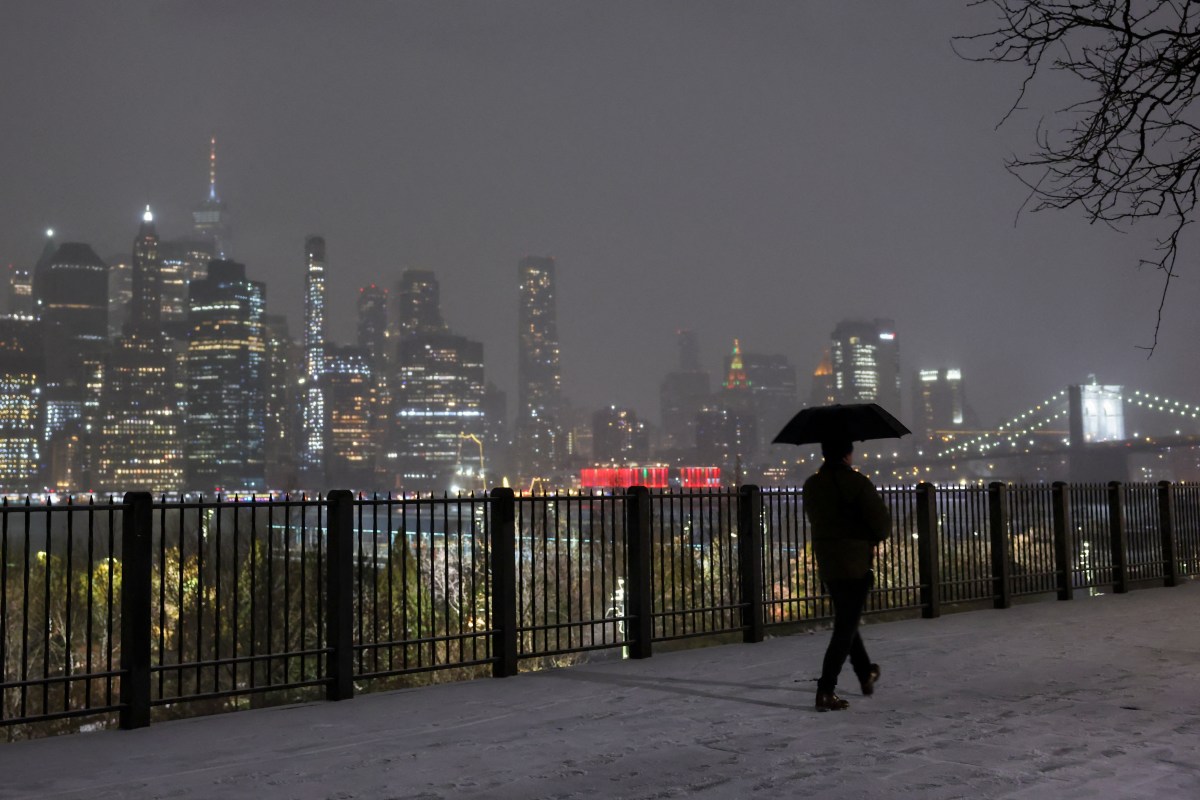
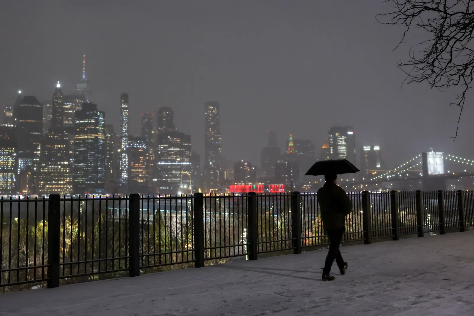
Meteorologists in New York are monitoring an incoming winter storm that has the chance of dropping more than 6 inches of snow across New York City.
The forecast comes as Winter Storm Fern is set to wallop a wide swath of the U.S. from the Southern Plains through Virginia beginning on Thursday night. Uncertainty remains in the storm’s track and severity, but there’s a chance for impactful snow and ice across at least 19 states this weekend. As the storm treks east, it could bring over 6 inches of snow to New York City beginning on Sunday.
“We are monitoring a growing potential for a plowable snowfall event Sunday into Monday,” NWS New York City posted on X on Tuesday morning. “There is a moderate potential we could exceed 6 inches of snow from a low pressure system that will pass to our south. Monitor the forecast for changes as we approach the weekend.”
Given the storm is still days away, there are no winter storm warnings or winter weather advisories currently in place for New York City.
 New York City’s chances of snow
NWS New York also included a map showing the likelihood of snowfall, with New York City currently at a 59 percent chance of 6 inches or more from Sunday to Monday. Staten Island has a 63 percent chance of seeing the same amounts, with the Bronx expecting a 53 percent chance.
NWS lead meteorologist John Cristantello, who works at the New York City office, told Newsweek that 6 inches of snow would be considered an impactful event for New York City.
“If it were to occur, that would prompt a winter storm warning,” he said. “Hazardous travel would be the main thing.”
The wind impacts from the incoming storm are also uncertain, but if gusty winds were to occur simultaneously with the falling snow, Cristantello said it could contribute to dangerously cold feels-like temperatures and possibly blizzard conditions.
“What does look a little more certain is that the temperatures will be colder than normal,” he said, adding that temperatures will likely remain in the teens.
The most significant winter storm impacts will be further south, with heavy snow, ice, and dangerous cold temperatures expected from Texas through Virginia. The incoming storm could cancel school across multiple states on Friday or Monday if impacts persist that long. There could also be impacts to local infrastructure, such as widespread power outages.
Currently, the main threat for New York will be “hazardous cold,” according to a forecast outlook from the NWS Weather Prediction Center.
“Confidence continues to increase on an expansive major winter storm impacting much of the southern and eastern portions of the Country Friday through Sunday. Key Messages are updated,” NWS Weather Prediction Center posted on X on Tuesday morning.
The key messages included in the post showed a 40 to 50 percent chance of moderate winter storm impacts in the New York City area, as opposed to 60 to 70 percent further south in Maryland, Delaware, and surrounding areas. However, a snow potential map showed the chance of snow stretching up through the Northeast, whereas the risk of ice remained confined to the U.S. South and Southeast.
What is a winter storm warning?
A winter storm warning is issued by an NWS office when heavy snow of at least 6 inches is expected in 12 hours, or 8 inches of snow in 24 hours, according to a website from the NWS. Meteorologists can also issue a winter storm warning if sleet accumulates to half an inch.
A winter storm warning is more severe than a winter weather advisory, which is issued if between 3 and 5 inches of snow is expected in 12 hours.
No winter storm warnings have been issued regarding the storm so far, given that it is still days away. However, meteorologists are monitoring the condition closely and will issue the alerts necessary when it comes time to do so. People living in the areas expecting impacts should monitor their local forecast offices as the storm gets closer.
What are meteorologists saying about the incoming storm?
Countless meteorologists have issued messages regarding the incoming storm. Some of their messages are listed below:
The Weather Channel meteorologist Jim Cantore said in an email to reporters: “This storm has a dangerous sweet spot where crippling ice, heavy snow, and prolonged power outages all overlap, especially from the southern Plains into parts of the Southeast. Some areas could see ice accretion approaching or exceeding an inch, and that is enough to take down trees, power lines, and entire transportation networks. The real concern is that this doesn’t end when the precipitation stops – an Arctic air mass follows, locking everything in place for days. That combination turns what might look like a short-term storm into a multi-day emergency.”
The Weather Channel meteorologist Stephanie Abrams said in an email to reporters: “This is a plan-changing winter storm stretching from Texas through the Southeast and into the I-95 corridor, with significant impacts expected this weekend. Travel conditions will deteriorate quickly as rain changes to ice, sleet, and snow, and widespread power outages are possible in areas that rarely deal with ice. What makes this storm especially dangerous is the lack of a warm-up afterward – temperatures stay cold enough for refreezing day after day. People need to prepare now, finish travel early, and be ready for disruptions that could last well into next week.”
Meteorologist Jon Davitt in a post on X: “Who wants a foot of snow in NYC ? Snow lovers say a prayer. Lots of talk that this weekend will be “the big one”. NOAA has most of the East coast on alert for major snowfall. We’ll be watching it this week.”
AccuWeather senior meteorologist Adam Douty in an email to reporters: “This has the potential to be one of the most impactful storms of the winter, especially when factoring in the large scale of the storm and the fact that snow and ice can fall in areas that do not have the infrastructure or resources to handle it.”