
Bundle up — or else!
A life-threatening Arctic blast is set to strike the eastern US in the coming days, setting the stage for sub-zero temperatures and a crippling snowstorm that could dump up to a foot in New York City, forecasters said.
The bone-chilling cold front is expected to peak later this week with the Big Apple dropping into the low teens as Chicago, parts of Michigan, and upstate New York face frigid single digit temps, according to meteorologists.
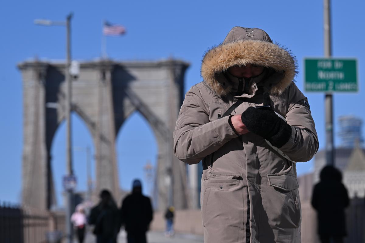
A life-threatening Arctic blast is set to strike the eastern US, plunging temperatures below zero as experts warn people to stay inside or risk hypothermia. Paul Martinka for NY Post
“It is dangerously cold,” AccuWeather senior meteorologist Tom Kines told The Post. “This Arctic air — an Arctic blast — is coming. It’s going to get worse before it gets better.”
The freezing weather will wallop the Northeast over the weekend as much of the region shivers through temperatures roughly 30 degrees below average for late January, Kines said.
As the Arctic blast blows in from Canada, folks in the worst-hit areas — including parts of Minnesota and Illinois — risk hypothermia if they stay outside for more than a couple hours without proper clothing, Kines said.
“If you have to go outside, respect the cold,” he said, warning people to layer up and only go out if they have to.
A dog walker braving the frigid weather at Brooklyn Bridge Park on Jan. 20, 2026. Paul Martinka for NY Post
“When it’s that cold, it actually hurts sometimes when you first breathe in,” he said. “It’s nothing to sneeze at.”
Power outages are also a threat as residents sometimes crank up the heat and potentially overwhelm the grid, he said.
“It is dangerously cold,” AccuWeather senior meteorologist Tom Kines told The Post. “An Arctic blast is coming. It’s going to get worse before it gets better.” Paul Martinka for NY Post
In New York City, the mercury will plunge into the low teens over the weekend as a snowstorm hits Sunday, Kines said.
If the massive winter storm intensifies as it moves east, New York City could be slammed with more than a foot of snow by Monday morning, according to FOX Weather, which cited computer forecast models.
Start your day with all you need to know
Morning Report delivers the latest news, videos, photos and more.
Thanks for signing up!
Philadelphia and parts of New Jersey could also see up to a foot of snow, according to the forecast.
If the Big Apple gets a foot of snow, it would mark the most in the city since February 2021, when 16.8 inches fell in Central Park over a two-day period.
Snow covering Valentino Park in Red Hook, Brooklyn, on Jan. 20, 2026. Paul Martinka for NY Post
The storm is expected to dump “at least enough to shovel and plow” in the five boroughs, Kines said.
Overall, temperatures in the Big Apple are expected to be more moderate Thursday with a high of 45 and a low of 29 degrees — before the cold snap intensifies over the weekend.
Friday will be partly sunny with a high of 36 and a low of 12 degrees. On Saturday, the city will see a bitterly cold high of 19 degrees and a low of 12 degrees.
Temps will then hit a high of 20 and a low of 15 as the storm dumps snow on the city, forecasters said.
It’s not expected to warm up again until after next week, Kines said.
“So if you don’t like the cold, you better jump on a plane soon,” he said.