
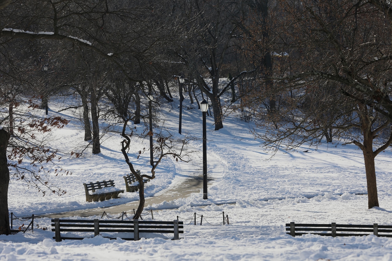
STATEN ISLAND, N.Y. — As New York braces for what could be the most significant winter storm in years, here’s a timeline breakdown of how the weather is expected to unfold, from the first temperature drop to the final snowflake, according to AccuWeather.
AccuWeather senior meteorologist Tom Kines, said Thursday will be the best weather for the foreseeable future. Kines explained that temperatures will reach the 40s.
“Get out and enjoy today because that’s going to feel like summer in a few days,” Kines said.
As Friday gets closer, it’s cold air that is moving in from a high-pressure system that will prompt the sharp temperature drop.
A sharp temperature drop begins as a high‑pressure system settles over the Northeast. The temperature will fall steadily, setting the stage for accumulation once the storm arrives.
“I bet the stores are going to be crowded Friday and probably Saturday as well,” Kines said.
On Saturday, a bitter cold will arrive, according to Kines. He predicts that temperatures will plunge into the teens. The storm system approaching from the South will also begin its northward ascent.
Kines warns that snowfall totals depend on a “battle” between the southern storm and northern high pressure system.
According to Kines, if the storm tracks farther north there will be more snow of up to 8 inches. If the storm tracks too far north, then warm air will mix in and cause the snow to transition to sleet and freezing rain. Lastly, if the storm shifts south, then all the precipitation will be snow but with lower totals around 6 inches.
According to Kines, the storm system will arrive late Saturday night or early Sunday morning. Accumulation will quickly ramp up as cold air locks in over the region.
New York City will experience the storm’s peak impact Sunday afternoon into the evening hours” for a more direct construction. This is the heaviest snowfall window, Kines revealed, with widespread totals of 6–8 inches likely. Kines said plowing will need to be done.
“That’s almost a guarantee at this point in time,” Kines shared.
According to Kines, traveling will become hazardous on both the ground and in the air. The high pressure will keep temperatures below freezing, preventing any quick melting and refreezing patterns.
The storm is set to have a nationwide domino effect on air travel due to significant delays for major southern airports such as Dallas and Atlanta. Kines said those ripple effects are likely to reach airports in East Coast cities such as Washington, D.C., Philadelphia, New York City and Newark.
“There’s a domino effect to other airports because planes come from those airports, but they can’t get out,” according to Kines.
Kines said Monday through most of the week, New York City will experience a prolonged deep freeze.
Unlike typical winter storms, temperatures won’t rebound, he affirmed.
New Yorkers can expect highs only in the upper teens to lower 20s, with nights even colder. The snow will be sticking around for a while, Kines concluded.