
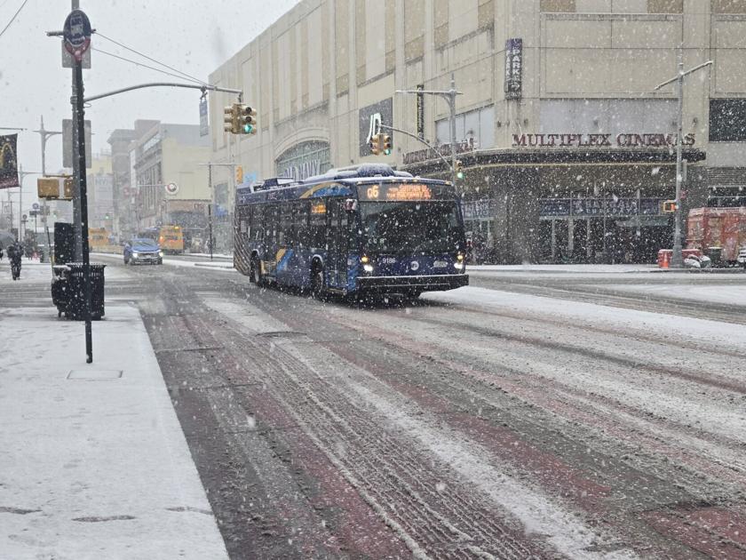
The National Weather Service has issued a winter storm watch for the New York City region from late Saturday night through Monday afternoon, with a forecast of between 6 and 12 inches. Greater accumulation is possible in some areas.
Overnight low temperatures are expected to be considerably below freezing with sustained winds. The area covered by the forecast includes Long Island, northeast New Jersey and southern Connecticut.
Significant snowfall could begin as early as Saturday night and is expected to continue through Monday afternoon.
Forecasters are predicting a low temperature of 11 degrees Friday night with winds up to 18 miles per hour and gusts as high as 32. The wind chill factor will make it feel between minus 5 and 5 degrees.
The high temperature on Saturday is going to be about 19 degrees with an overnight low of 17. The NWS is calling for heavy snow Sunday with a high of 25 degrees, falling to 21 overnight. The Weather Channel forecast is calling for an overnight low of 18 degrees.
Monday is expected to see more snow, mostly before noon, with a high temperature of 27 degrees. The overnight low is expected to be between 11 and 14 degrees.
Both the NWS and Weather Channel are forecasting overnight temperatures under 15 degrees through Friday, Jan. 30.
The city’s Emergency Management Office is reminding people to plan more time for travel.
It also is warning to make arrangements for things like childcare and healthcare visits and to prepare alternative care plans for the elderly and disabled.
The Department of Sanitation, in an email to the Chronicle on Thursday, said this could be the most significant storm to hit the city in years, preparations already are underway and that New York’s Strongest are ready.
“More than 2,000 Sanitation Workers will be working 12-hour shifts around the clock, and work will begin Friday morning as we apply brine — a liquid salt solution — to roadways citywide,” A DNSY spokesman said. “The Department has 700 million pounds of salt on hand, and spreading begins at the first flake, with plows ready to roll when depths reach two inches. New Yorkers should stay off the roads unless absolutely necessary to allow us to do our work.”
The Port Authority of New York and New Jersey said in an email that it is closely monitoring weather conditions and is working with airport terminal operators and other airport partners in preparation.
“Air travelers should check with their airlines for updated information on their flights before leaving for the airport or check the Federal Aviation Administration website for any FAA programs that may affect flight operations at their departure or arrival airport,” the PA said. “Motorists who use the Port Authority’s six bridges and tunnels are strongly encouraged to sign up for email alerts and allow for additional travel time.”
Midtown Bus Terminal users can use the MyTerminal app for real-time updates or check directly with their bus carriers for service changes. PATH riders can check train service information via the PATH mobile app, RidePATH.