
NEW YORK (PIX11) — The core of the cold moves through the region on Saturday. Temperatures will stay in the teens for much of the day, and wind chills will hold in the single digits as well.
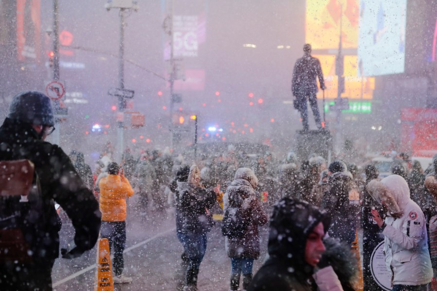
Moving forward to the big snow event. The pieces are coming together as the Tri-State region braces for the biggest snowstorm since January/February 2021.
Winter storm watches have already been posted for Sunday and Monday as the snow will be heavy at times, and near-zero visibility will make travel downright hazardous.
The snow will build across the region early on Sunday and intensify. While it will be mostly a snow event for most, milder air may creep in along coastal sections Sunday night, bringing in the threat for a period of a wintry mix for those areas. The snow could still be on the heavy side early on Monday before it starts to taper off.
Thanks for signing up!
Watch for us in your inbox.
Subscribe Now
Despite the threat of a wintry mix along coastal areas, temperatures are going to be very cold for much of the event. That will allow the snow to be very powdery and therefore, accumulate rather quickly. That will lead to substantial accumulations regardless of the threat of mixing along coastal sections.
In terms of forecasted snowfall amounts, we are looking at around a foot of snow for the city. Forecasted accumulations could approach as much as 16 inches for inland areas, while coastal sections back down to 6 to 10 inches.
Keep in mind that this is still several days away, and the storm is far from being set in stone. We will continue to monitor the models and adjust forecast amounts as necessary.
Copyright 2026 Nexstar Media, Inc. All rights reserved. This material may not be published, broadcast, rewritten, or redistributed.
For the latest news, weather, sports, and streaming video, head to PIX11.