
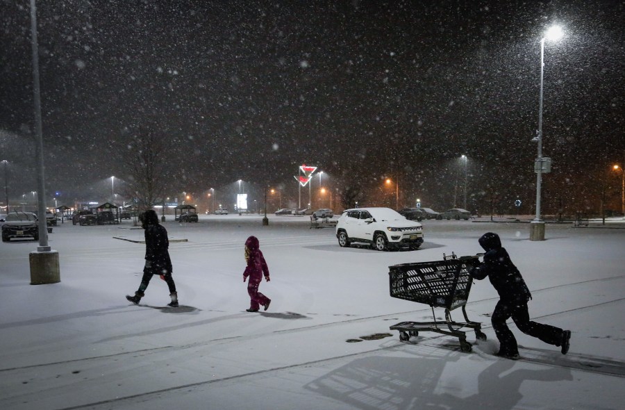
NEW YORK (PIX11) — The National Weather Service has issued a winter storm warning for New York and New Jersey on Friday ahead of Sunday’s snowstorm.
Updated forecasts show the tri-state could get as much as 12 to 18 inches during the overnight hours beginning Sunday. The winter storm warning will be in effect from 3 a.m. Sunday to 6 p.m. Monday, according to the National Weather Service.
Forecasters say a wintry mix on Sunday evening could also lead to sleet and a glaze of ice before consistent snowfall at night.
Latest snow accumulation totals
As of 2 p.m. Friday, New York City and most of Long Island is expected to get between 12 to 12.4 inches of snow.
More: Latest News from Around the Tri-State
Parts of Westchester could get up to 13.9 inches while the Hudson Valley could see as much as 15 to 16 inches.
Portions of Northeast New Jersey will see between 12 to 15 inches of snow accumulation.
Timing
The first snowflakes are expected to begin as early as 1 a.m. on Sunday morning with continuous snowfall throughout the day. It will briefly mix with sleet between 10 p.m. Sunday and 4 a.m. Monday before continuous snow fall starts back up again.
Resident should be prepared to see snowfall until at least 1 p.m. on Monday.
Dominique Jack is a digital content producer from Brooklyn with more than five years of experience covering news. She joined PIX11 in 2024. More of her work can be found here.
Copyright 2026 Nexstar Media, Inc. All rights reserved. This material may not be published, broadcast, rewritten, or redistributed.
For the latest news, weather, sports, and streaming video, head to PIX11.