
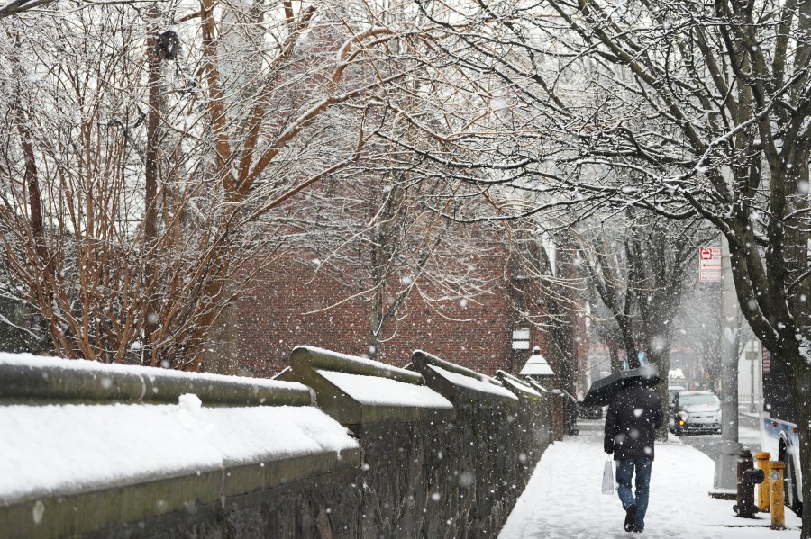
NEW YORK (PIX11) – Confidence continues to grow that a significant winter storm will impact the tri-State area this weekend — especially for New York City and locations north and west.
However, one key factor could still influence final snowfall totals: the potential for sleet mixing in on Sunday afternoon, particularly across central and southern New Jersey.
Why Sleet Matters
Forecast models continue to show warm air moving into the atmosphere. When this happens, falling snow can partially melt before refreezing near the surface — turning into sleet.
If this warm layer becomes strong enough, snow can transition quickly to sleet, which:
Reduces snowfall accumulation
Makes roads more slippery and hazardous
This setup is especially concerning for parts of central and southern New Jersey, where the warm layer appears most pronounced.
Before any mixing occurs, this storm is expected to begin with a powerful burst of heavy snow.
This “front-end thump” will feature:
Rapid accumulation in a short period of time
Potential for difficult travel early Sunday
These intense rates are why most areas are still on track to reach significant totals, even if sleet mixes in later.
Make PIX11 your preferred news source on Google: Here’s how
Major Snowstorm Still Likely for NYC and North & West
For New York City and communities north and west of the city, the overall forecast remains unchanged.
Cold air is expected to hold longer in these areas, allowing precipitation to remain predominantly snow.
At this point, confidence remains high that NYC and nearby suburbs will see a major winter storm.
NYC Snowfall Outlook:
If you’re looking for a benchmark number for the city:
The current over/under for New York City sits around 8 inches.
Right now, forecast trends support the over.
That assumes cold air holds long enough to limit sleet intrusion and that the heaviest snow bands develop as expected.
More: Latest News from Around the Tri-State
What Could Still Change
As with any complex winter storm, small changes in the atmosphere can have big impacts.
Key factors still being monitored include:
Strength and depth of the warm layer aloft
Timing of any changeover to sleet
Placement of the heaviest snow bands
Speed of the storm system
If the sleet arrives earlier or becomes more widespread, totals in parts of New Jersey could come down.
If cold air holds stronger, snowfall amounts could exceed expectations.
Copyright 2026 Nexstar Media, Inc. All rights reserved. This material may not be published, broadcast, rewritten, or redistributed.
For the latest news, weather, sports, and streaming video, head to PIX11.