
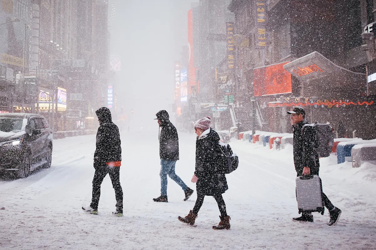
When will the snow stop? After a full day of near-constant precipitation Sunday, Jan. 25, New Yorkers are ready for what comes next.
According to the National Weather Service, heavy snowfall was expected to transition into a heavy wintry mix in New York City and along the coast in the afternoon and evening.
“Lingering significant travel impacts” should be expected by commuters into Monday, the NWS said. “Prolonged period of frigid conditions through late week. Prepare for societal and infrastructure impacts due to the prolonged, deep cold.”
As of Sunday, the Metropolitan Transportation Authority was already contending with weather-related issues and plagued by delays. Some Metro-North lines were running on reduced schedules, and several New York City subway lines were either partially suspended, facing “severe” delays or switching from express to local.
Safety first: At what age should you stop shoveling snow? Experts warn about risks
When will it end?
According to an NWS forecast for Westchester and Rockland, the snow, freezing rain and sleet was expected to continue overnight into Monday, with another chance of snow between 2 and 4 a.m. Look for potentially more snow and freezing rain after 4 a.m.
Snow and freezing rain may continue Monday before 8 a.m., with another chance of snow before 10 a.m. Look for the clouds to eventually give way to sunshine after that, with high temperatures near 29 degrees. Wind chill will make it feel much colder, with values between 10 and 20. Winds could gust as high as 22 mph.
In Putnam County, the snow may stick around a little longer, with an NWS forecast calling for another chance of snow between 7 a.m. and 1 p.m. Monday.
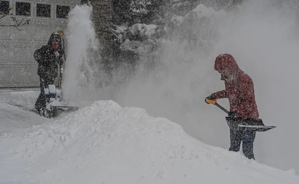
Eileen Walter of Tarrytown, N.Y. gets the brunt of the snow being blown by her son William, 10, as they clear the snow from their driveway at the height of the winter storm Jan. 25, 2026. The storm was predicted to drop up to a foot of snow on the lower Hudson Valley.
See Sunday morning snow totals: How many inches of snow have we gotten so far in downstate NY?
In New York City, the NWS predicts the snow will continue overnight, fluctuating between snow and freezing rain on and off from 1 to 3 a.m., with a chance that could continue after 3 a.m. Expect heavy sleet at times, and “patchy blowing snow” between 1 and 2 a.m.
While temperatures could rise to around 30 by 1 a.m., wind chill values between 10 and 20 will make it feel much colder. Look for a “blustery” north wind blowing 18 to 23 mph, decreasing to about 11 to 16 mph after midnight.
On Monday, there’s another chance of snow and freezing rain before 8 a.m., with a more slight chance between 8 and 10 a.m. Look for more “patchy blowing snow” in the afternoon, after 4 p.m., and clouds to give way to mostly sunny skies after. High temperatures could rise to about 32 degrees, with wind chill values between 15 and 20. Expect a northwest wind to blow 9 to 17 mph.
By nightfall, things should be “mostly clear” in much of the city, with lows near 14 and wind chill values between 5 and 10.
We’ve marked this story free to all users in the interest of public safety. Please consider supporting local journalists covering the community through a subscription.
This article originally appeared on Rockland/Westchester Journal News: When will the snow stop? What NYC commuters should expect for Jan. 26