
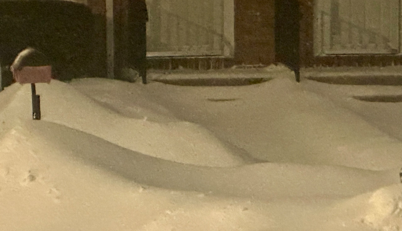
STATEN ISLAND, N.Y. — Staten Island was hammered by a winter storm that dumped up to a foot of snow across the borough, with forecasters predicting the precipitation tapering off early Monday morning.
Brian Hurley, a meteorologist with the National Weather Service, reported snowfall totals ranging from 10 to 12 inches across Staten Island as of Sunday evening.
The snow is expected to transition to sleet, with an additional 1 to 2 inches of mixed precipitation possible before the storm moves out.
“We expect it to turn over to some sleet here very soon; I’d say give it another hour,” Hurley said. “There will be minimal additional accumulation at this point.”
Sleet accumulation are expected to remain under half an inch, with less than a tenth of an inch of ice glazing possible from freezing drizzle as the storm winds down. The precipitation is expected to end after midnight, possibly as early as 2 to 3 a.m. Monday, Hurley noted.
Winds are expected to pick up overnight, blowing from the north to northeast at 20 to 25 mph, with gusts reaching 35 mph. while
Temperatures will rise slightly into the lower 20s Sunday night as a prolonged cold snap is predicted for the coming week. Temperatures are expected to stay below freezing through Wednesday.
Monday is expected to be mostly cloudy, with possible sunshine later in the day. Lows will be near 10 degrees Monday night, with highs hovering in the low 20s, Hurley said.