
STATEN ISLAND, N.Y. — Slippery conditions and below-freezing temperatures will persist across Staten Island Monday, with minimal ice and snow melt expected throughout the day.
The National Weather Service has discontinued the Winter Storm Warning but cautions residents about hazardous travel conditions due to icy roadways and walkways.
Temperatures on Monday will struggle to reach the freezing mark, with wind chills in the middle to upper teens. According to the National Weather Service, cold air reinforcements will arrive Monday night, sending temperatures plunging into the single digits and lower teens with wind chills near or just below zero degrees.
Tuesday will bring even colder conditions to Staten Island, with high temperatures only reaching the upper teens to lower 20s degrees. More widespread single-digit temperatures are expected Tuesday night into early Wednesday morning as winds diminish slightly.
The cold snap will intensify later this week as another wave of arctic air arrives Wednesday night into Thursday. This next round of frigid temperatures is expected to be more severe than the current cold spell, with conditions remaining through Friday. Weather officials indicate cold weather advisories will likely be needed during this period.
Some temperature moderation is expected into the weekend, though readings will remain well below normal through Sunday. The persistent cold temperatures mean ice and snow accumulations will be slow to melt, continuing to create hazardous conditions for pedestrians and motorists throughout the week.
Residents are advised to dress in layers when venturing outdoors, limit exposure to the cold, and take precautions to prevent pipes from freezing as the arctic air settles across the New York City region.
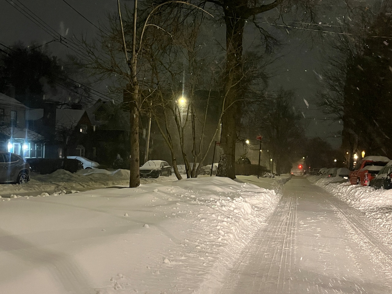 Staten Island is blanketed in snow on the morning of Monday, Jan. 26, 2026. Snow is piled up on the sides of the road on Hart Boulevard in Randall Manor.(Advance/SILive.com | Jan Somma-Hammel)