
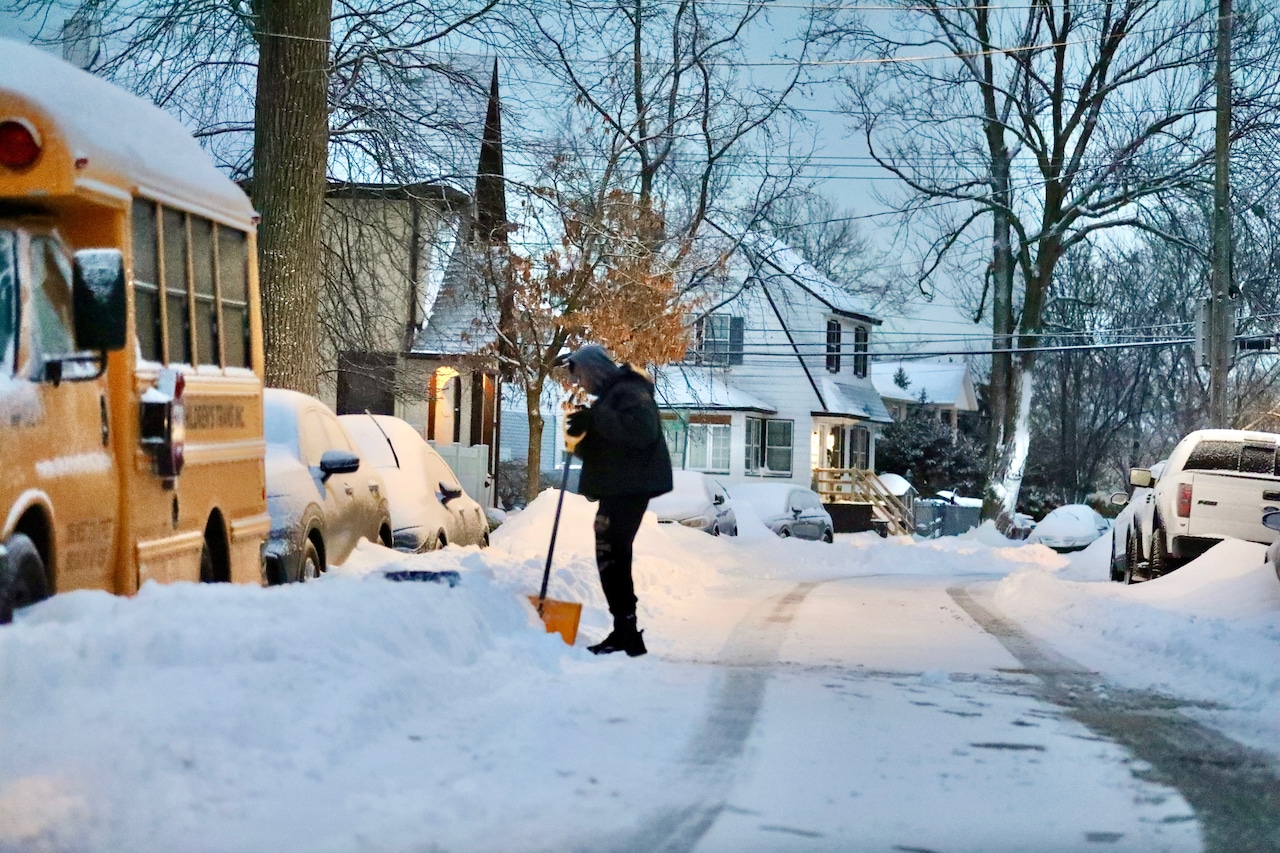
STATEN ISLAND, N.Y. — New York City residents hoping for a quick melt of the recent snowfall will need to bundle up for the long haul because the winter wonderland is here to stay, according to AccuWeather.
“Unfortunately, the snow that has fallen is going to hang around for at least the end of the month into early February,” said AccuWeather Meteorologist Alyssa Glenny in an interview Monday.
She explained that a prolonged stretch of frigid temperatures will effectively preserve the current snowpack, with little chance of any melting in the immediate future.
“A lot of the daytime highs are not going to exceed even the mid-20s for the peak temperatures through the end of the week,” Glenny said. “The warmest temperature that we might see is early next week, and that’s right around freezing.”
Residents of Staten Island and surrounding areas should prepare for particularly brutal conditions toward the end of the week, with low temperatures in the single digits.
“The lowest temperature that we’re seeing this week looks to be Friday night. Wednesday night’s low rivals it pretty closely,” Glenny noted. “We have a low of 6 degrees Friday night, so definitely cold into the single digits from Wednesday night into Friday night.”
A break from the winter chill is not in the immediate future, as the meteorologist confirmed there will be no melting and refreezing pattern in the short term.
“No melting will occur for at least a week and a half,” Glenny stated. “As we head into the first or second week of February, there could be a chance. But at this time, everything unfortunately looks to remain below freezing for the time being.”
Next snow?
While the workweek appears clear of additional snowfall, residents should stay weather-aware heading into the weekend, Glenny advised. AccuWeather is tracking a potential coastal storm that could bring fresh snow and significant wind to Staten Island.
“We are monitoring the potential for a coastal storm this weekend,” Glenny warned. “The details are still being ironed out, but it does look like there could be a storm that comes up from the southeast and brings additional snow and potential wind impacts to the region.”
Unlike the recent weekend storm, this approaching system could bring with it an increased wind speed. “It’s likely that this storm could be windier than what we noticed with this weekend coastal storm that we had. There’s a higher potential for gusts to exceed 30 or more,” Glenny explained.
Even before the potential weekend storm arrives, residents should be cautious about existing conditions as breezy weather could create hazards.
“Over the upcoming days, it will still be pretty breezy around Staten Island. Any snow on the ground from the storm this weekend could drift or blow around a little bit over the next 24 to 48 hours,” Glenny said.
The combination of frigid temperatures and wind creates particularly dangerous conditions that residents should take seriously.
“Whenever we have any kind of breezy to windy conditions paired with temperatures in the teens to 20s, that, of course, makes it feel so much colder than the actual temperature,” she added. “So just advising people to protect their skin, don’t have any exposed skin and to stay warm as much as possible.”