
STATEN ISLAND, N.Y. — New Yorkers will want to keep their shovels at the ready as a “classic nor’easter” may bring snow and heavy winds to the five boroughs this weekend.
A “powerful low” is expected to track up the East Coast in the coming days, and depending on the ultimate path of that system, New York City could find itself dealing with another round of impactful winter weather.
On Sunday, Staten Island residents had to dig through a winter storm that brought about a foot of snow to the borough.
According to AccuWeather Senior Meteorologist Matt Benz, as of Tuesday morning, New York City is on the threshold of the area that could receive snow from this storm.
Benz anticipates that this storm could impact the city beginning late Saturday night and into the day Sunday.
After the area of low pressure develops off of the Outer Banks, the nor’easter could take one of two paths.
“The question is, does it keep moving east towards Bermuda or does it cut northward towards Cape Cod?” Benz questioned.
Should the storm track towards Bermuda, the city will still see some wind, but the five boroughs could escape precipitation.
However, if the system moves further north, both snow and wind “would be on the table.”
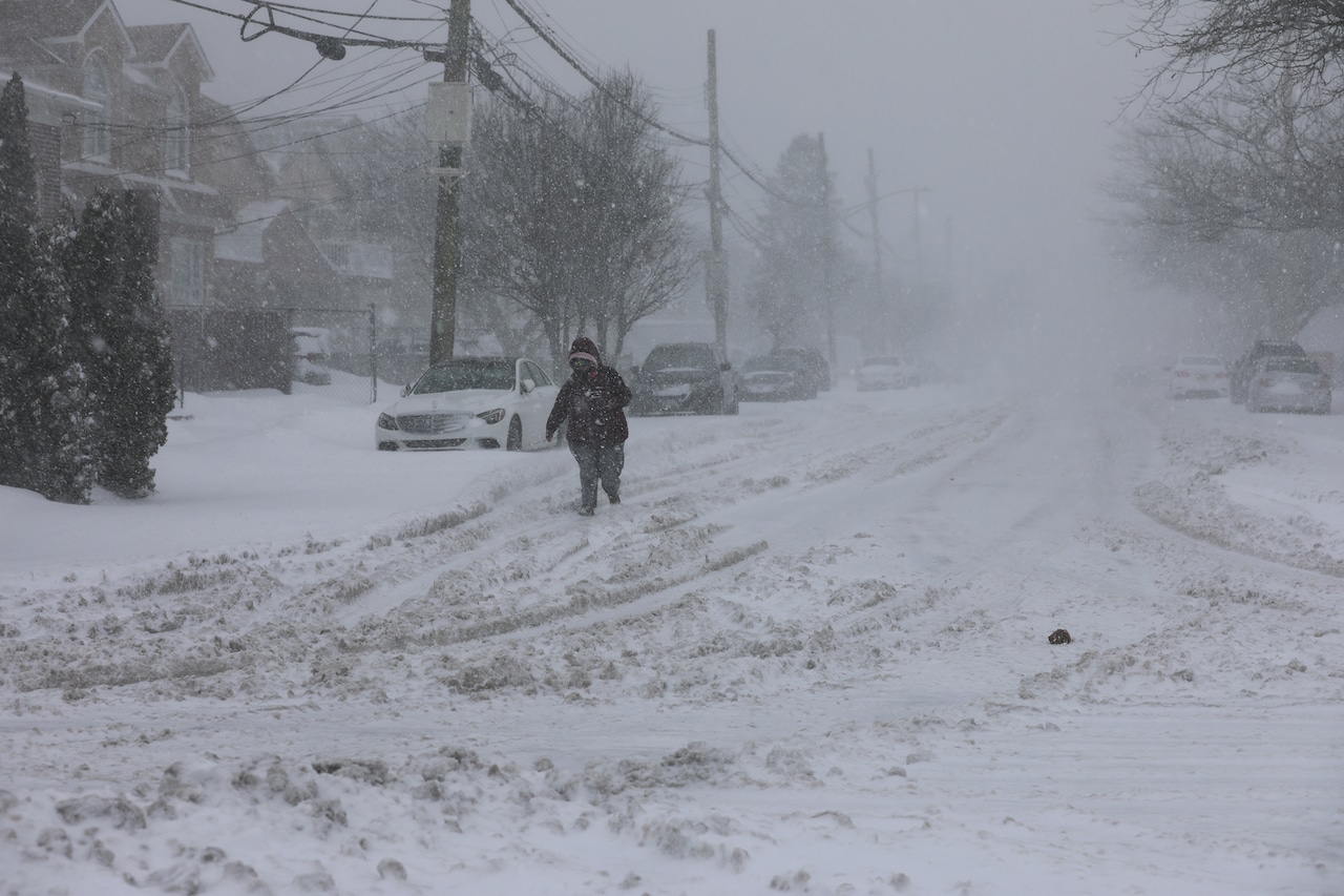 Meteorologists are monitoring a nor’easter that could impact New York City on the weekend of Saturday, Jan. 31, 2026. This photo from Feb. 1, 2021, shows a person walking in New Dorp during a nor’easter.(Advance/SILive.com | Alexandra Salmieri)
Benz told the Advance/SILive.com that as of Tuesday, there is a “moderate risk” that the city will see a winter storm this weekend.
“So it’s more or less kind of a 50-50 chance right now of it occurring,” he added.
While Benz could not provide any snowfall estimates this far out, he did note that this storm could bring heavy winds to the city. Should the storm get close enough to the five boroughs, wind gusts could even reach between 50-60 mph along the coast.
This combination of wind and snow would create visibility concerns in the city, Benz said.
Any snow that does arrive this weekend will stack on top of the existing snow, as minimal melting is expected to take place this week due to freezing conditions.
“If you did see something that took off towards Cape Cod, the highest impacts would be during the day on Sunday,” added Benz.
In addition to high winds, those along the coast may want to prepare for potential coastal flooding, as the storm will coincide with the full moon and astronomical high tide this weekend.
The determining factor
So what needs to happen for this storm to miss the city?
According to Benz, a clipper storm emerging out of the upper midwest could end up giving this nor’easter the boot and push it further away from the city.
If this “kicker low” remains further west and misses this developing nor’easter, then the coastal low will likely push further north along the coast.
However, if the “kicker low” comes in stronger, it could essentially push the nor’easter further east.