

STATEN ISLAND, N.Y. — Borough residents should be spared from more snow this weekend, after previous forecasts suggested otherwise.
On Thursday, an AccuWeather forecast showed a possible nor’easter brewing that was expected to bring 1 to 3 inches of snow and wind gusts of up to 40 mph to Staten Island.
After 24 hours of radar-watching, however, that forecast has changed as the precipitation appears to be headed east of the city, said Tom Kines, AccuWeather senior meteorologist.
“At this point it doesn’t look like we’re going to get anything,” said Kines.
Below-freezing temps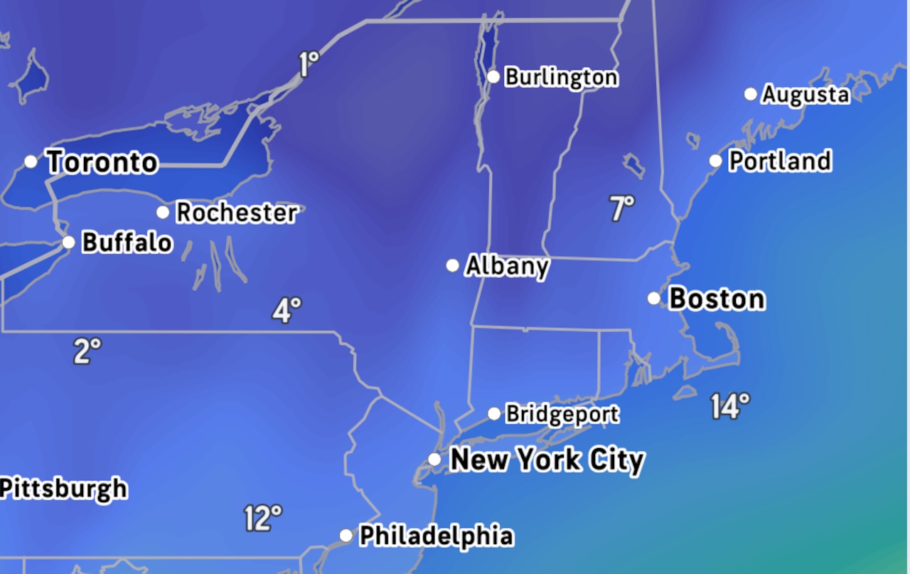 Forecasts are calling for below freezing temperatures and gusty winds throughout the weekend on Staten Island.(Accuweather)
While the snow should miss the city, the blistering cold is here to stay, at least through the weekend.
The National Weather Service issued a cold weather advisory on Friday that is in effect until 10 a.m. Saturday, during which wind chills could drop the real feel temperatures to as low as -5 to -10 degrees.
On Saturday night, it could feel like -10 at times when factoring in the wind chill, Kines said.
“It looks a little windy Saturday night into Sunday. It’ll feel a lot colder than the actual temperature.”
The National Weather Service forecasts northerly winds of 15-25 mph with gusts reaching 30-40 mph, potentially approaching 45 mph in coastal areas during that time period.
Next week’s forecast
Looking ahead to next week, the temperatures will be slightly more bearable, the NWS reports.
High temperatures Monday through Thursday are so far expected to reach the low 30s with clear skies overhead.