
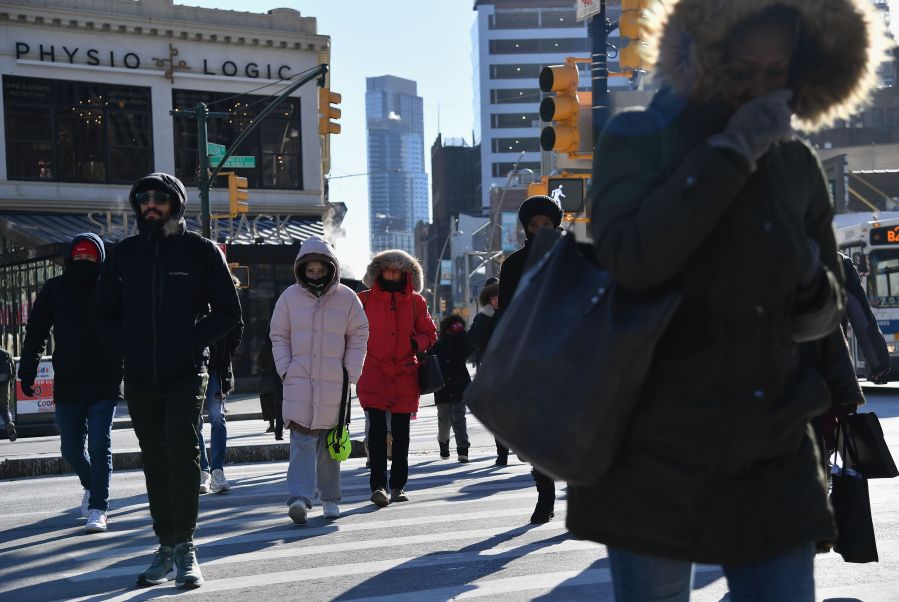
NEW YORK (PIX11) — This cold stretch could become record-breaking soon for New York City.
Today could be the tenth consecutive day with highs below freezing, which hasn’t happened since 1958 in the city.
Daytime temps will come close to freezing in the city this week. But dangerously cold temperatures will return this weekend.
On Monday, bundle up as you make your way out. Morning lows are slated to bottom out in the teens and single digits. There is a cold weather advisory for parts of New Jersey and the Hudson Valley through 10 a.m.
There will be plenty of sunshine, but that will do little to warm us up as highs are expected to top out in the upper 20s and low 30s across the city.
For Tuesday, expect increasing clouds followed by a few snow flurries and showers late Tuesday night into early Wednesday morning. The greatest threat will be across the southern portions of our coverage area, with a dusting possible in spots.
There is a good chance of reaching the freezing mark by Wednesday afternoon. However, the bitter cold will return on Thursday along with partly cloudy conditions.
Finally, an arctic front is set to arrive, bringing along another chance for snow later in the day Friday, followed by an early chance on Saturday. Although light accumulations are expected, the big concern will be strong winds with gusts of up to 50-60 mph.
There is a good chance that a wind advisory will be issued. This pattern will be followed up by another round of bone-chilling temperatures this weekend.
Copyright 2026 Nexstar Media, Inc. All rights reserved. This material may not be published, broadcast, rewritten, or redistributed.
For the latest news, weather, sports, and streaming video, head to PIX11.