
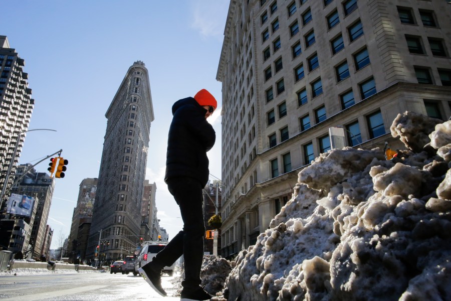
NEW YORK (PIX11) — Another cold spell is expected to hit New York City this weekend, prompting the National Weather Service to issue an Extreme Cold Watch.
The Extreme Cold Watch will be in effect from 6 p.m. on Saturday to 1 p.m. on Sunday.
There will be sub-zero wind chills that could reach as cold as negative 15 degrees, according to the NWS.
The dangerously cold wind chills could result in hypothermia, frostbite, or even death.
Temperatures will likely peak in the low to mid-20s in the city (colder in the suburbs) early on Saturday and fall throughout the day.
The bitter blast will continue through Sunday. Therefore, if you’re planning to attend Super Bowl festivities, bundle up. Morning lows will fall into the single digits, with some locations falling below zero north and west of the city. Highs are expected only to reach the teens across the area.
Make PIX11 your preferred news source on Google: Here’s how
As far as Monday, the extreme cold will continue with possible wind chills below zero. There may be a few flakes/snow showers in the morning.
City officials urge New Yorkers to wear a hat, hood, or scarf, and to keep fingertips, earlobes, and noses covered.
Ben Mitchell is a digital content producer from Vermont who has covered both local and international news since 2021. He joined PIX11 in 2024. See more of his work here.
Copyright 2026 Nexstar Media, Inc. All rights reserved. This material may not be published, broadcast, rewritten, or redistributed.
For the latest news, weather, sports, and streaming video, head to PIX11.