
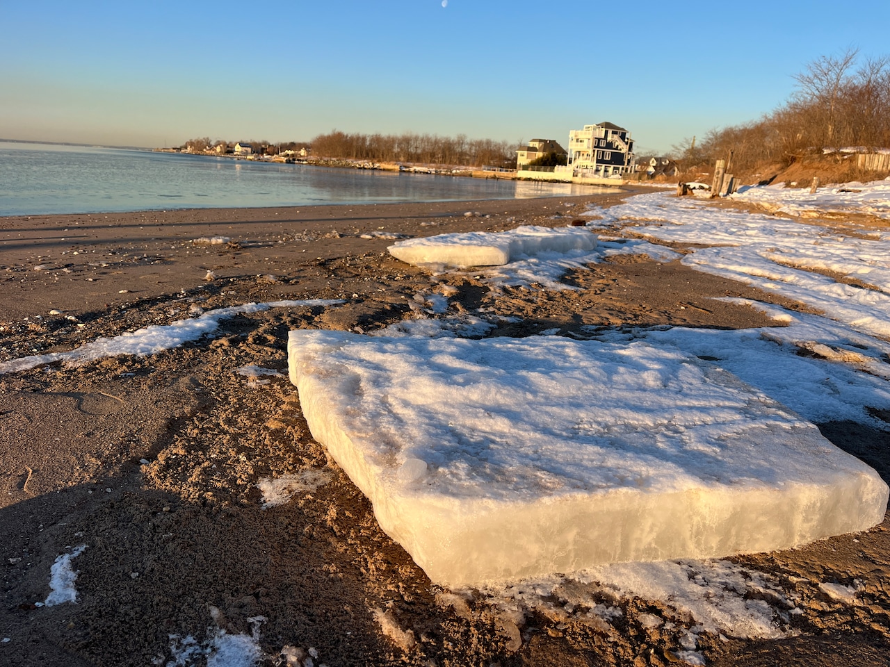
STATEN ISLAND, N.Y. — Icy surfaces could create hazardous conditions for Staten Island residents Wednesday morning as temperatures hover near or slightly below freezing.
The National Weather Service has issued a Special Weather Statement until 9 a.m. warning about potential slick spots from residual moisture following earlier precipitation.
According to the National Weather Service, precipitation has moved out of the area, but temperatures remain cold enough for icy conditions on untreated surfaces.
Residents should exercise caution when walking or driving Wednesday morning. Temperatures will gradually rise to the mid to upper 30s degrees by Wednesday afternoon, helping to melt any remaining ice.
Wednesday’s conditions mark the beginning of a warming trend for Staten Island and the rest of New York City. After days of below-normal temperatures, highs will reach the mid to upper 30s degrees Wednesday, with similar temperatures expected Thursday and Friday. Winds from the west-northwest will increase Wednesday morning with gusts of 20-25 mph.
The weekend forecast shows continued improvement with temperatures approaching seasonal norms. Saturday and Sunday will see highs in the upper 30s to lower 40s degrees, with overnight lows ranging from the mid-20s to lower 30s degrees.
A weak weather system could bring a few light snow showers or flurries to the area Friday night, though the National Weather Service indicates only a 20% chance of precipitation.
Looking ahead to early next week, forecasters have reduced the probability of a storm system affecting the region late Sunday into Monday. Current models suggest the storm will track well south of New York City, potentially leaving Staten Island with just a chance of light rain or snow.
Temperatures Monday and Tuesday will continue the warming trend with highs reaching the lower to mid-40s degrees.