
From blue highways to district-scale logistics, NYC is at the forefront of sustainable freight
New York’s industrial DNA was written on the water. Barges gave way to containers, trucks and inland distribution nodes; now a third wave is cresting as e‑commerce, electrification, and climate imperatives force a fundamental rewrite of how goods move through the five boroughs. If the last century optimized for highways, the next must optimize for health, resilience, and space efficiency – and that means re‑activating the city’s 520 miles of waterways while reorganizing the “last mile” on our streets.
At Buro Happold, our view is straightforward: New York can cut truck miles, improve air quality in environmental justice neighborhoods, and unlock growth on formerly industrial waterfronts by building a multi‑modal urban freight network that treats ports, streets, and buildings as one system. That system has three pillars – water, micro‑distribution, and policy alignment – and it is beginning to take real shape.
1. Water: Turning blue highways from vision to throughput
New York City’s Blue Highways initiative reframes maritime freight as an everyday urban service, not a nostalgic throwback. In late 2025, NYC DOT and NYCEDC activated a pilot moving small commercial freight by water between the Brooklyn Marine Terminal (BMT) and Manhattan’s Pier 79, with hand‑off to electric cargo bikes for local delivery – an early, tangible proof that mode shift can work in dense districts.
Blue Highways are grounded in hard numbers. Close to 90% of New York’s goods currently move by truck with freight volumes projected to grow roughly 67% by 2045. Those trends are untenable for streets, bridges, and lungs. The Vision Plan explicitly targets that growth by shifting appropriate cargoes (aggregates, DSNY municipal bulk, containerized food, and project cargo) onto barges and workboats, with last‑mile distribution by low‑emission vehicles and cargo bikes.
What’s changing on the ground: In 2024–2025 the City and State transferred operational control and seeded capital to modernize BMT, advance electrified port equipment, and lay out a mixed‑use, all‑electric maritime district. The approved BMT Vision Plan (September 2025) calls for a 60‑acre modern port as part of a broader, phased transformation of the 122‑acre site, positioning the terminal as a keystone node in the Blue Highways network.
Why this matters for city planners: Marine freight is not a cure-all, but it does a few things extraordinarily well: it aggregates heavy or refrigerated loads, removes high‑impact truck trips from corridors like the BQE and the Cross Bronx, and adds redundancy to the supply chain during shocks – whether weather, labor, or policy. Waterfront advocates and freight analysts have repeatedly flagged the efficiency and resilience gains of short‑sea shipping in the New York harbor, reinforcing the rationale for permanent marine nodes tied to neighborhood‑scale distribution.
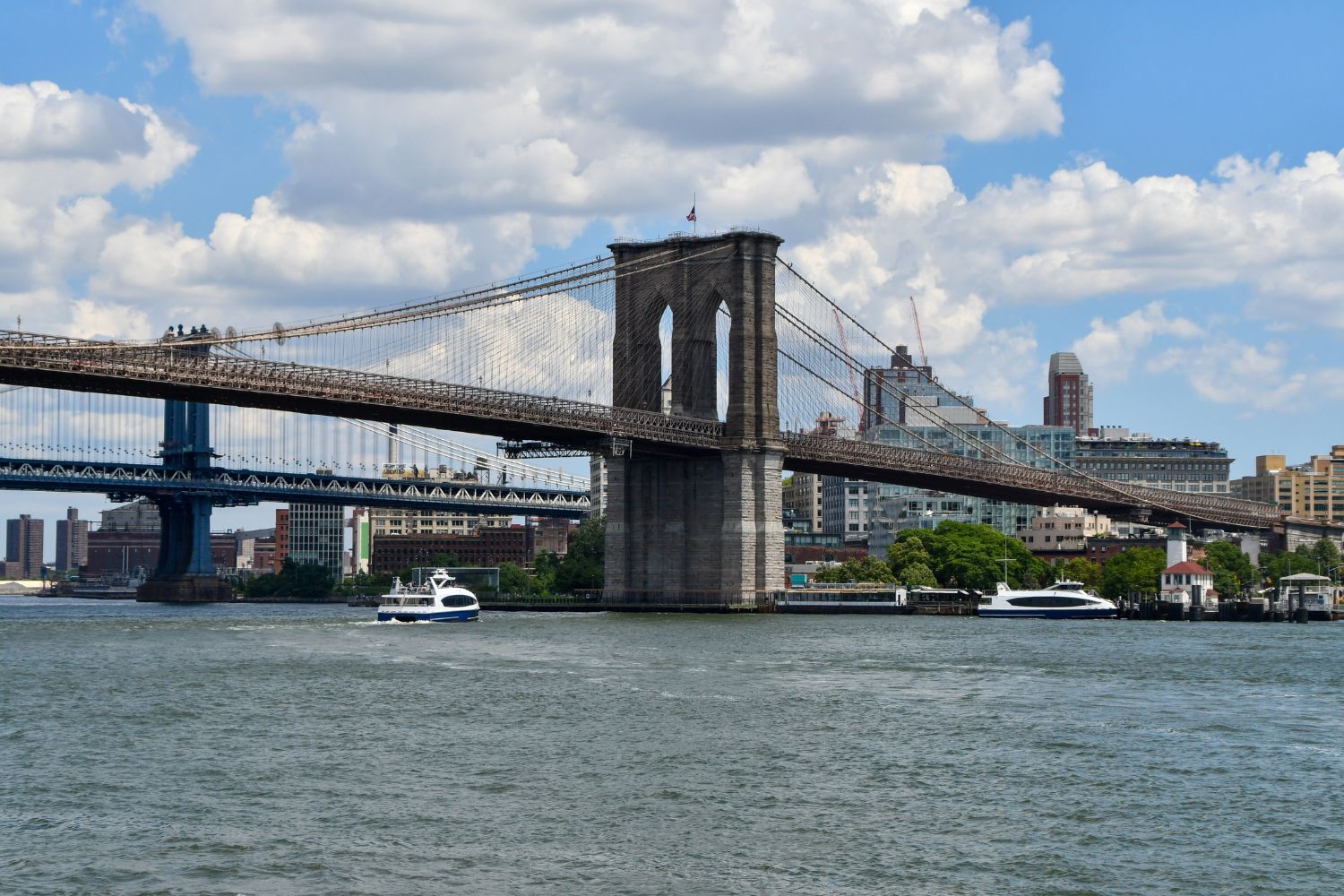
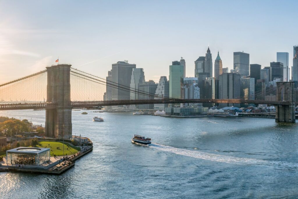
 New York City is surrounded by over 500 miles of coastline – the edges of its waterways, including rivers, bays, straits, and the Atlantic shoreline. Image: Adobe Stock.
2. Streets & buildings: The micro‑distribution “snap‑on” for every neighborhood
3. Policy: Aligning congestion pricing, containerization, and industrial strategy
Congestion pricing, implemented in January 2025, reframes the downtown curb as a scarce asset. One year in, initial evaluations show fewer vehicles entering the zone, faster buses, fewer crashes, and improved travel times – benefits that compound for freight when curb access friction drops. As the program phases in over the decade, freight operators will face clearer price signals for timing and mode – shoring up the business case for water focused transit plus micro‑distribution off‑peak.
In parallel, DSNY containerization is scaling beyond pilots, with legislative momentum to require stationary on‑street containers for most larger residential buildings. That shift reclaims sidewalk space, standardizes pick‑ups, and reduces vermin – critical quality‑of‑life gains in dense districts where freight and sanitation compete for the same curb hours.
Finally, while the details of the City’s industrial plan are evolving, the momentum is consistent with freight resilience: preserve and modernize industrial waterfronts, electrify equipment, and co‑locate logistics with clean energy and workforce pipelines, rather than displacing these uses wholesale. That is the planning backbone that allows Blue Highways and microhubs to persist beyond pilot status.

Equity first: Correcting a lopsided map of impacts
For decades, the geography of freight’s more obvious impacts – diesel exhaust, street damage, noise – has overlapped with low‑income waterfront districts and the South Bronx. Public health data repeatedly show higher childhood asthma burdens in these neighborhoods, with Hunts Point and adjacent areas standing out for ED visits and hospitalizations. The same pattern is emerging in Red Hook, where the rapid growth of e‑commerce distribution facilities has intensified truck traffic on already constrained streets. Investigations into the neighborhood’s freight footprint have documented rising diesel emissions, heavier curbside activity, and deteriorating air quality tied to last‑mile delivery operations – impacts residents feel acutely in a community already burdened by poor health indicators. Any credible “sustainable freight” that doesn’t materially reduce truck exposure where it’s worst is performative. Future strategies must confront these hyper‑local pressures alongside the more familiar hotspots in the South Bronx and along working waterfronts. The good news: the projects above – Blue Highways nodes, microhubs, clean port equipment – are precisely the interventions that cut local diesel VMT where it matters most.
Complementary investments are also arriving where trucks cluster. At JFK, the Port Authority has broken ground on an expanded truck parking plaza – a pragmatic move that triples on‑airport capacity and reduces illegal overnight staging in nearby neighborhoods, with EV charging to accelerate fleet transition. It’s not glamorous, but it solves a real pain point that communities have flagged for years.
From reverse logistics to circular logistics
When the City invested in multi‑nodal marine infrastructure, set clear operating rules, and committed to equitable siting, New York shifted tons of municipal waste off local streets and onto barges – with measurable cleanliness and emissions benefits. Freight can follow the same template: seed capital to stand up multiple nodes, codified standards for hand‑off, and long‑horizon institutional sponsorship so private operators can invest confidently in vessels, equipment, and workforce.
The business case: Making water competitive with asphalt
Trucking dominates because it’s cheap and flexible. To compete, marine freight needs volume assurance (procurement and policy), infrastructure that cuts handling time, and data‑proven curb gains from microhubs and congestion pricing. The City has begun to stack these levers:
Congestion pricing has reduced private vehicle entries and improved surface speeds – helpful for timed freight windows and curb access reliability.
Microhubs rules formalize curb space for transloading and require performance data (including VMT reduction), tightening feedback loops for operators and regulators.
Containerization consolidates sanitation operations, freeing sidewalk space and reducing conflicts at the curb during peak delivery windows.
With these policies aligned, the total cost of delivery – not just the line‑haul – begins to favor water + micro‑distribution in dense Manhattan and waterfront Brooklyn/Queens catchments.
How Buro Happold can help
As an integrated consultancy spanning mobility, buildings, infrastructure, and environment, we help public agencies and institutional owners move from pilot to program:
Network planning & analytics. Quantify VMT, emissions, and health benefits under different marine–street configurations; simulate curb operations and bike logistics; and design equitable siting frameworks that prioritize burdened neighborhoods first.
Waterfront engineering & resilience. Deliver climate‑ready piers and bulkheads, electrified cargo hardstands, and interoperable loading systems that cut dwell time and labor friction.
District logistics & circular systems. Apply “reverse logistics” lessons from marine waste transfer to construction, retail, and food sectors; integrate shared material yards, consolidation centers, and building‑level receiving to minimize truck circulation.
Policy and procurement advisory. Align capital plans with congestion pricing, containerization, and industrial zoning; structure RFPs that require data sharing, low‑/zero‑emission equipment, and community workforce commitments.
The path forward
For city planning officials and public owners of waterfront assets, the charge is clear: lock in the institutional scaffolding for Blue Highways and micro‑distribution now – so the next decade’s e‑commerce growth is absorbed by water, not wedged onto aging expressways.
The Brooklyn Marine Terminal shows what’s possible when maritime modernization, mixed‑use planning, and last‑mile innovation move in concert. Replicate that playbook – customized for local cargo and community needs – at Hunts Point and other strategic sites, and New York can reclaim its competitive edge while delivering measurable health, climate, and quality‑of‑life benefits where they’re needed most.