
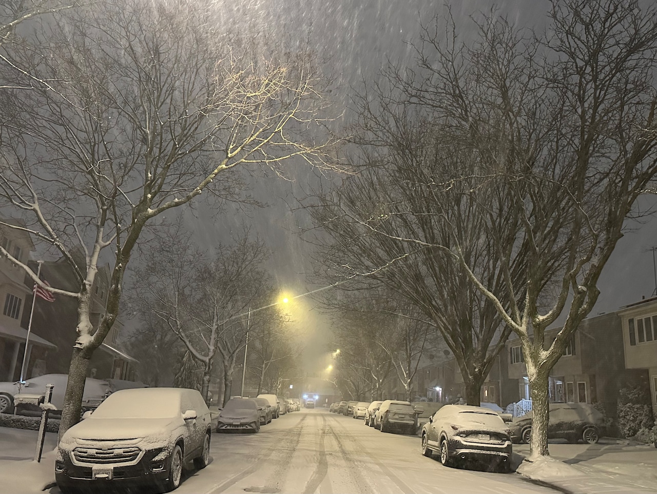
STATEN ISLAND, N.Y. — Meteorologists are confident a nor’easter will develop off the East Coast, but the uncertainty lies in just how much that storm will impact New York City.
The general forecast, as of Thursday morning, is that the city will receive somewhere between no snow and a half foot of accumulation from a coastal storm Sunday into Monday morning. Dan Pydynowski, a senior meteorologist with AccuWeather, told the Advance/SILive.com that he foresees snowfall somewhere in the 1-3 inch range.
Ultimately, where the storm forms and tracks will determine snowfall amounts.
As of Thursday morning, some National Weather Service model solutions show the nor’easter tracking farther south and east of the city, resulting in no snow. Meanwhile, there are other solutions that show a track typical for a nor’easter in which the city could receive significant snowfall, according to John Murray, a meteorologist with the weather service.
“There’s multiple pieces of energy that sort of all have to merge together at the same time, in the right fashion, in the right spot off the Mid-Atlantic Coast,” Pydynowski said. “So timing all those pieces of energy out this far in advance can be a little tricky.”
In addition to the unfolding track of the nor’easter, temperatures will also play a role in total snowfall tallies.
Unlike Winter Storm Fern, which brought over a foot of snow to Staten Island, this system will find itself with a lack of cool air in place.
“If you think back to that storm in late January, it had been cold and we had some Arctic blasts and we had a, sort of an Arctic air mass in place out ahead of that,” Pydynowski told the Advance/SILive.com. “In this case, you know, Saturday we’re going to have highs in the upper 40s.”
If the snow is not particularly heavy and the temperatures hover just around freezing, “it might have a tough time sticking and accumulating.”
“So, yeah, how the storm comes together — the storm track — is one factor. But the cold air in place, or lack thereof, is another factor that we’re also weighing in with the forecast here,” Pydynowski explained.
Regardless of snowfall, the nor’easter is forecast to bring elevated winds to the city.
Murray said that if the storm is strong enough, it could result in gale force winds with gusts of up to 40 mph.
“It is still going to turn windy, probably winds start increasing later in the day on Sunday and then we see strong winds continuing Sunday night and throughout the day on Monday,” Pydynowski added.
As of Thursday morning, Pydynowski forecasts winds of 15-25 mph with elevated gusts.