Thought winter was done? Not quite.
The New York City area can expect to get another powerful snow storm later this weekend and into Monday. many in the tri-state can expect to see anywhere from 8-12 inches of snow, depending on distance to the coast. Others along the Jersey Shore and in eastern portions of Long Island could get more than a foot by the time the snow has moved on.
What does timing look like for this storm? A mix of rain and snow will start Sunday morning. Temperatures drop late Sunday afternoon and snow will start to stick Sunday evening.
Snowfall rates of 1-2 inches per hour and increasing winds will greatly reduce visibility and potentially reach blizzard criteria (especially in Suffolk County) into Monday morning.
Those same gusty winds will lead to coastal flooding, the worst of which comes at high tide Sunday night.
The big differences in this storm and the foot we saw in January will be temperatures. This will be a warmer, wetter, heavier snow (take it slow shoveling) and it won’t last as long. The snow will be melting by Wednesday this time, not lingering around for weeks.
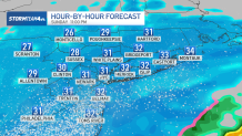
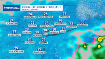
Want to know when the storm will hit? See radar breakdown:
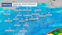
Sunday 2 p.m.
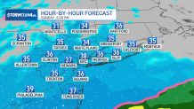
Sunday 8 p.m.
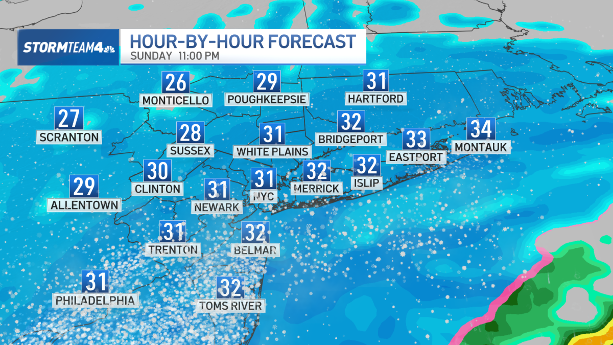
Sunday 11 p.m.
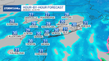
Monday 8 a.m.
Monday 12 p.m.