
Blizzard conditions will continue across New York City and much of the surrounding region until 6 p.m. Monday, according to the National Weather Service.
Heaviest snow into Monday morning
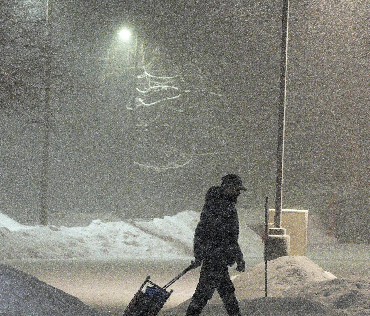
The most intense part of the storm is expected Sunday night into early Monday. Forecasters say snowfall will remain heavy at times, with additional accumulations pushing storm totals well over a foot in many areas. Wind gusts could reach 55 to 60 mph, with even stronger gusts possible along the coast. Visibility may drop below a quarter mile, creating whiteout conditions and making travel extremely dangerous.
Hazardous conditions through Monday
Snow will continue through much of Monday, affecting both the morning and evening commutes. Even after snowfall begins to taper, strong winds may continue to blow and drift snow, reducing visibility and keeping roads slick and snow-covered. Falling temperatures could also lead to icy conditions Monday night.
Gradual improvement Monday evening
Conditions are expected to slowly improve after the blizzard warning expires at 6 p.m. Monday, as the storm moves away from the region. However, lingering blowing snow and hazardous road conditions may persist into the evening hours. Officials urge residents to avoid nonessential travel until conditions significantly improve.
NYC blizzard: Live coverage
Follow our live coverage for real-time updates on snowfall totals, road conditions, closings and delays, and safety advisories as the storm unfolds.
This article originally appeared on Rochester Democrat and Chronicle: When will the NYC blizzard end? See when conditions will improve