
NEW YORK – A powerful winter storm blanketed parts of the tri-state area with more than a foot of snow early Monday, creating hazardous travel conditions and prompting officials to urge residents to stay off the roads.
What we know:
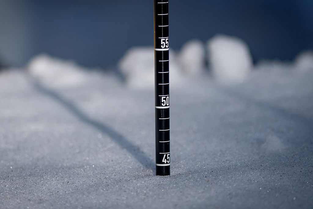
Snow was still falling across the region Monday morning, with the heaviest bands producing rates of up to 3 inches per hour in some areas, making travel hazardous despite ongoing plowing efforts.
Snowfall totals climbed into the double digits in several communities across New York, New Jersey and Connecticut.
Stay connected with FOX LOCAL. For 24/7 winter storm coverage—Download Now.
FIND THE LATEST NY WINTER STORM FORECAST HERE
JUMP TO: NEW YORK l NEW JERSEY l CONNECTICUT
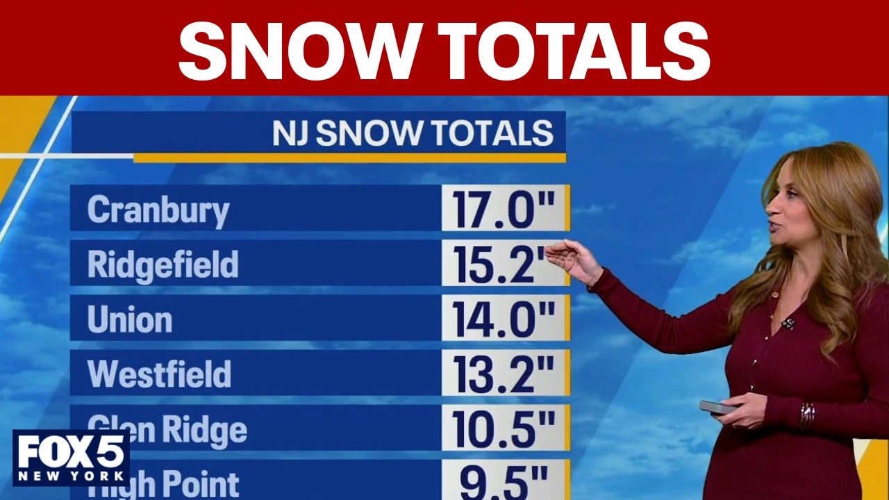
1 W Coney Island (Brooklyn): 16 inches1 SE Williamsburg (Brooklyn): 15.3 inchesMott Haven (Bronx): 15 inchesLong Island: 14.9 inchesDongan Hills (Staten Island): 14 inchesBrooklyn: 13 inches1 WSW Grasmere (Staten Island): 12.7 inchesSpring Valley (Rockland County): 12 inches3 NW Flatbush (Brooklyn): 11.7 inchesCentral Park: 9.3 inches (as of latest report; likely higher) Perth Amboy: 20 inchesMetuchen: 17.7 inchesCranbury: 17 inches1 SW Westfield: 16 inchesSouth River: 15.5 inchesRidgefield: 15.2 inches1 SW Cranbury: 15 inchesNorth Brunswick: 14.9 inchesWarren: 14.5 inchesUnion: 14 inches1 S Mountainside: 14 inchesWestfield: 13.2 inchesAvenel: 13 inchesCranford: 11.8 inches1 SW Edison: 11.8 inchesNewark Airport: 11.1 inchesNorthwestern New Jersey: 9.5 inches Madison: 10.5 inchesNorth Haven: 9.5 inchesShelton: 7.8 inchesNorwalk: 6.5 inchesNew Canaan: 12.2 inches
Stay ahead of the snow with FOX 5’s expert meteorologists, streaming LIVE on FOX LOCAL. We’re streaming nonstop coverage with the newest forecasts, snow potential, and preparation tips—before the storm and all weekend long. Download FOX LOCAL for 24/7 weather coverage on your smart TV and mobile devices.
The Source: This article includes information provided by the National Weather Service New York.