
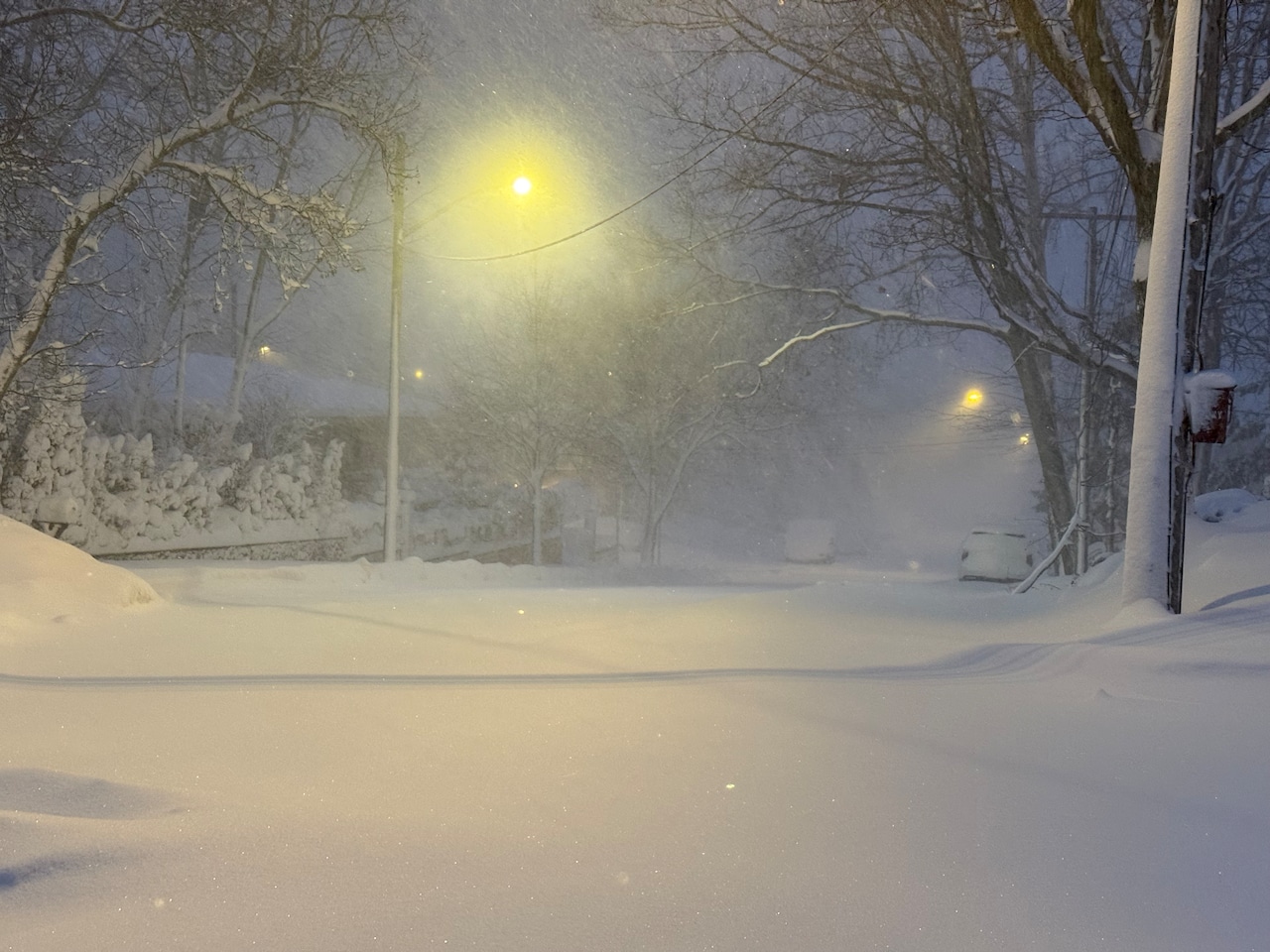
STATEN ISLAND, N.Y. — New York City residents are in the thick of it during what some are referring to as the first true blizzard of the decade, with over a foot of accumulation across Staten Island.
“I’ve seen reports anywhere between 13 inches locally on Staten Island to 20 inches at Perth Amboy,” shared Bill Deger, a senior meteorologist at AccuWeather. “So this storm is certainly going to be one for the record books. This will be a memorable storm.”
Some areas of Staten Island are also dealing with snow drifts that can be over 18 inches high. This is due to the intense winds accompanying the storm, which are also making it more difficult for meteorologists to report an accurate total snowfall, shared Deger.
This storm is what weather experts refer to as a “bomb cyclone” — a storm that rapidly intensifies in the water.
“If its pressure drops fast enough we categorize it as a bomb cyclone,” said Deger. “This certainly meets that criteria with how quickly it’s strengthened offshore. We’re seeing the proof in the pudding with how much snow has fallen so far.”
Temperatures as of early Monday morning are below freezing, making the snow thick and wet.
“The temperature has been kind of hovering around the upper 20s to around 30,” said Deger. “So it’s not a fine, powdery snow… it’s going to be quite the job to clean up and remove the snow after the storm.”
When will snow stop in NYC?
So when is this record storm coming to an end?
According to Deger, there are still a few more hours to go in regard to snowfall.
“The snow will start to lose its intensity this afternoon. After lunchtime, we’re really done with a lot of the accumulation,” he said. “At that point, maybe another inch or so on top of what we’ve already had. It stays kind of a heavy, wet snow right up until the end.”