
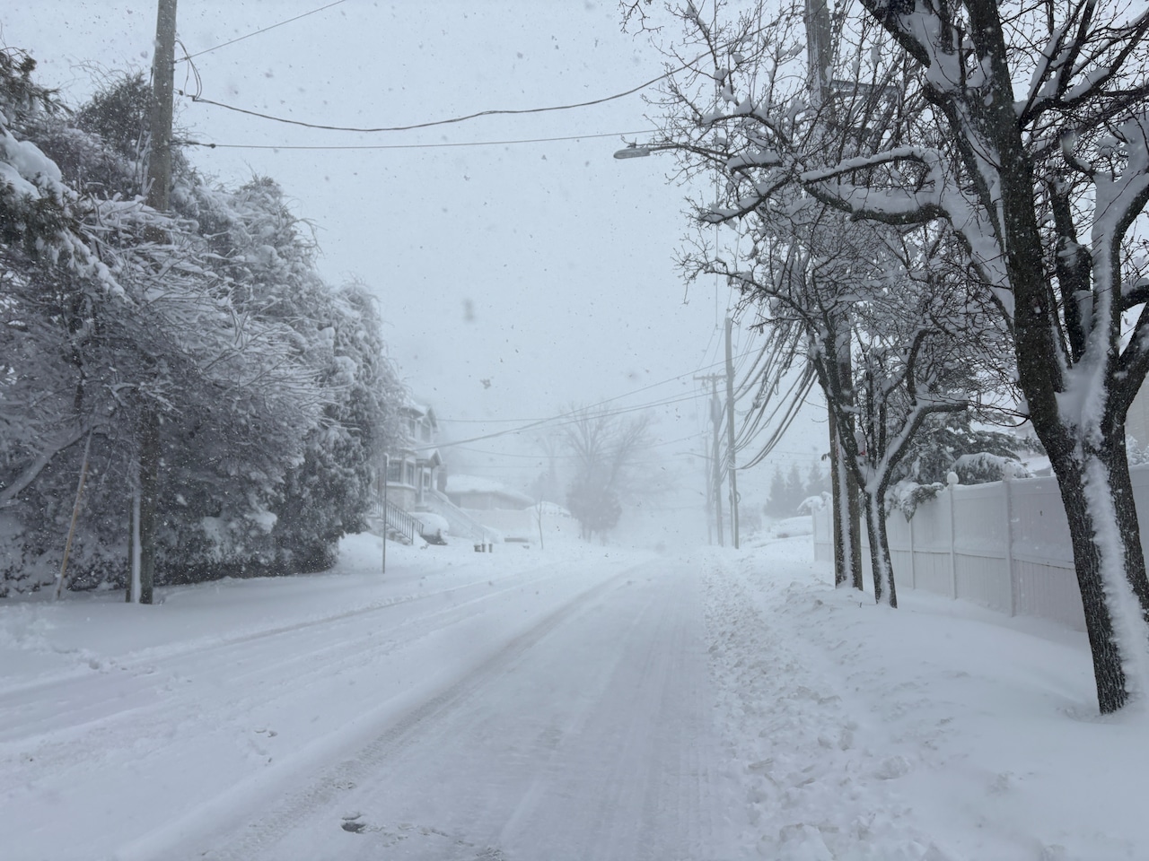
STATEN ISLAND, N.Y. — A monster storm has dumped over a foot of snow on Staten Island, leaving many residents with one question: When is this going to melt?
This “bomb cyclone,” which refers to a storm that rapidly intensifies offshore, has brought strong winds, below freezing temperatures and snow drifts as high as 18 inches to the borough, said Bill Deger, a senior meteorologist at AccuWeather.
** HERE ARE LIVE UPDATES FROM THE STORM **
According to Deger, this accumulation won’t last long.
“It should melt pretty quickly. We’re talking about highs in the 30s tomorrow; we’ll be above freezing with some sunshine returning,” he said in an interview with the Advance/SILive.com. “So unlike the storms we saw last month, where it had plenty of cold air that came in after this, one doesn’t have that cold air coming in after it. So we should see some steady melting of the snow for the next week.”
This doesn’t mean it is going to be an easy cleanup process.
“It’s going to be a long dig out. Especially in more densely populated areas, this is going to take some time,” Deger said. “It may take until late in the week for some roads to be cleared out there.”
Wintry weather midweek?
Although meteorologists are predicting temperatures in the high 30s and low 40s for the rest of the month, Deger does warn of possible wintry conditions mid-week.
“We could see a little light snow with a system on Tuesday night and Wednesday morning,” he said. “Thursday, it’s above freezing as well, with maybe some more flurries.”