
The massive storm hitting the New York City area has officially been classified as a blizzard, according to the National Weather Service in New York.
Meteorologists reported that at least six weather stations in the region reached blizzard conditions early Monday morning, including:
Islip and Westhampton in Suffolk County
Newark and Teterboro in New Jersey
New Haven, Groton, and Bridgeport in Connecticut
Other areas in the region experienced “blizzard-like conditions,” officials said.
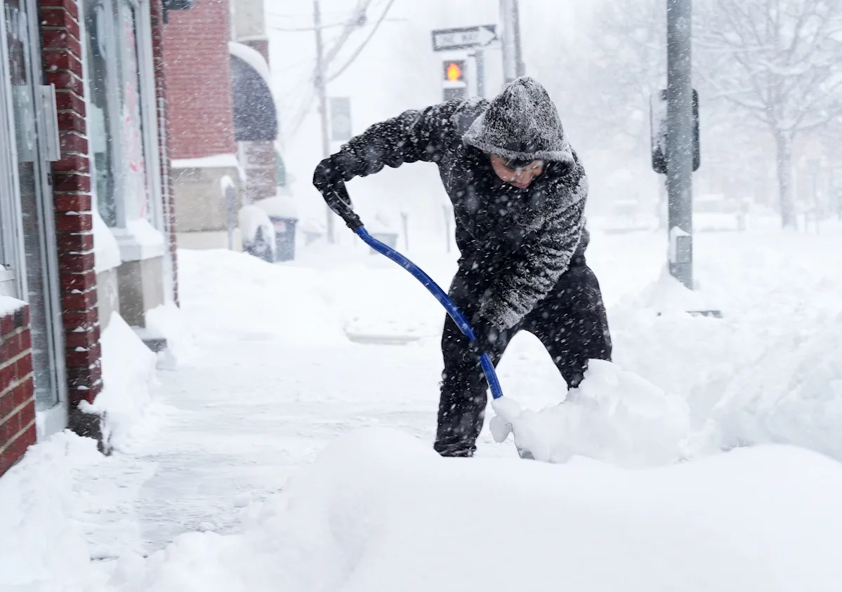
Nearly two feet of snow has already fallen on parts of Long Island as of mid-morning Monday. The storm, a powerful nor’easter, has brought heavy, steady snow, strong winds, and hazardous blizzard conditions. Forecasters said the storm is “past peak but still significant” as of late morning.
What is a blizzard?
The National Weather Service defines a blizzard as a storm with:
Sustained winds or frequent gusts of 35 mph or more
Falling or blowing snow reducing visibility to a quarter-mile or less for at least three consecutive hours
The first qualifying measurement at a weather station was recorded around 1 a.m. Monday.
How strong have wind gusts been?
The strongest gust recorded during the blizzard in New York was 84 mph at 3:30 a.m. at Montauk Point in Suffolk County. The second strongest gust reached 74 mph at Stony Brook (Suffolk County) at 5:19 a.m.
Both of these gusts are considered hurricane-strength, equivalent to a Category 1 hurricane on the Saffir-Simpson scale, which ranges from 74 to 95 mph, according to the Weather Service.
NYC blizzard live coverage: See the latest on the storm
Follow our live coverage for real-time updates on snowfall totals, road conditions, closings and delays, and safety advisories as the storm unfolds.
This article originally appeared on Rochester Democrat and Chronicle: What makes a snowstorm a blizzard? NYC area hits blizzard status