
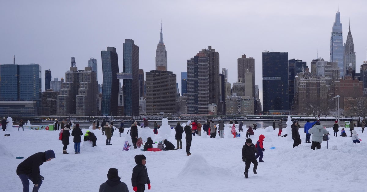
Another round of snow could impact the Tri-State Area, just after a major blizzard dumped more than two feet of snow in some parts of New York and New Jersey.
Luckily, it won’t be nearly as much as residents saw over the past two days.
A new system will move in with snow developing overnight. This won’t be a major storm, but it will make for a messy start early Wednesday.
Expect mainly snow, with perhaps a little rain along the coast around daybreak.

CBS New York
How much snow are we getting tomorrow?
Most areas will see a coating to about one inch. If you’re north and west of the city, you could pick up closer to one to two inches or more before the precipitation tapers.

CBS New York
Rain or snow is also possible Thursday.

CBS New York

CBS New York
How is the weather today?
Tuesday starts off with a reminder that winter still has a firm grip on the area, with sloppy, slushy surfaces across the area.
The other concern in the morning is black ice, which can be almost impossible to see but very easy to slip on.
Temperatures to kick off the day feeling like the teens. While the afternoon brings some mostly sunny skies, it won’t do much to warm things up. Highs top out in the low 30s, though the wind chills will keep it feeling solidly in the 20s.

CBS New York
Snow totals for the Tri-State Area
The historic nor’easter brought double-digit snow totals for most of New York, New Jersey and Connecticut.
The ninth biggest storm in New York City history brought 19.7 inches to Central Park. Long Island had the most snow with 31 inches reported in Central Islip.
Check out the full list of snow reports across the area.