
Here we snow again.
Another round of snow is expected to blanket the five boroughs Wednesday morning — and again Thursday —with up-and-down temps then leaving the Big Apple in a constant slippery state for the next week.
Roughly 1 inch is set to layer the city starting before dawn Wednesday — though Mayor Mamdani warned it could be higher.
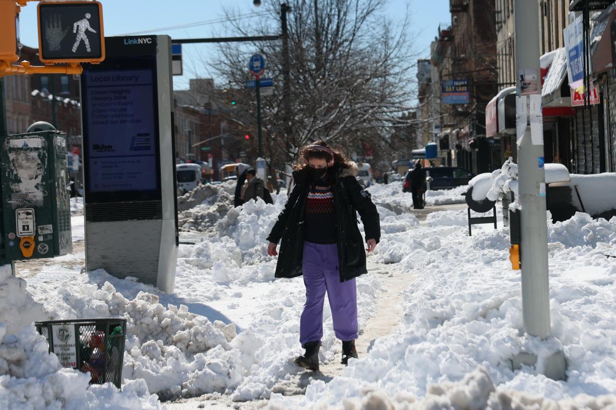
A person prepares to walk through the snow to cross Nostrand Avenue on Tuesday, February 24, 2026. Getty Images
“There is a chance of some additional light snow tomorrow morning with a maximum of 2 inches,” Mamdani said Tuesday.
Another inch of snow will then fall Thursday as well, said Dan DePodwin, the vice president of Forecasting Operations at Accuweather, to The Post on Tuesday.
Fortunately, a portion of the 2-foot snow piles recorded in some parts of the five boroughs Monday will have already melted thanks to Tuesday’s 42-degree temperatures.
A man skis in a sledding area on the south side of The Metropolitan Museum of Art in Central Park. Stephen Yang for NY Post
But the mercurial mercury will be dropping back down and hovering at about 30 degrees as the snow falls Wednesday morning, and some forecasted rainfall in between could make conditions extra wet and primed for freezing.
“It is certainly a much, much lower impact event [than the blizzard] but nonetheless can still be some slippery spots as the temperatures will be below freezing early [Wednesday] morning, so it could make for a bit of a slippery time period in that morning commute,” DePodwin said.
Melting will occur again as temperatures rise another time to 42 degrees Wednesday afternoon.
A broken tree branch lies across a snow-covered car, Tuesday, Feb. 24, 2026. AP
Thursday will then be something of a Groundhog Day, closely mimicking the daytime snow melting, evening snowfall and overnight freezing of the day before.
“We’re sort of in this thaw-and-refreeze type of mode over the next several days,” DePodwin said.
“It does cause the refreeze risk of icy patches that can develop at night.
Caution tape blocks the path of a fallen tree on 17th Street on February 24, 2026, in the Flatbush neighborhood of Brooklyn, New York. Getty Images
“Get the shoveling done and make sure you put any salt on places that are still wet and moist there so that you don’t have those freeze up overnight when temps fall back below freezing,’’ he said.
The first snowflake is expected to fall around 4 a.m. Wednesday and last until 11 a.m., according to DePodwin.
New Yorkers can then finally look forward to some balmy weather and sunshine over the weekend — perhaps enough to erase the snowfall from the week.
Snow sculptures on the Great Lawn in Central Park. Stephen Yang for NY Post
“The weekend looks dry and pretty seasonable for this time of year. It should be a good time period for snow melt with temperatures well into the 40s on Friday, Saturday and Sunday,” said DePodwin, noting that Saturday is expected to be the nicest of the three.
“It looks like a generally pretty calm end of the week after obviously a historic, highly impactful blizzard to start the week.”
Start your day with all you need to know
Morning Report delivers the latest news, videos, photos and more.
Thanks for signing up!
The Big Apple was brought to a standstill Monday after a monster bomb cyclone dumped double-digit snow totals throughout the area.
There were 19 inches recorded in Central Park — the ninth highest amount in city history.