
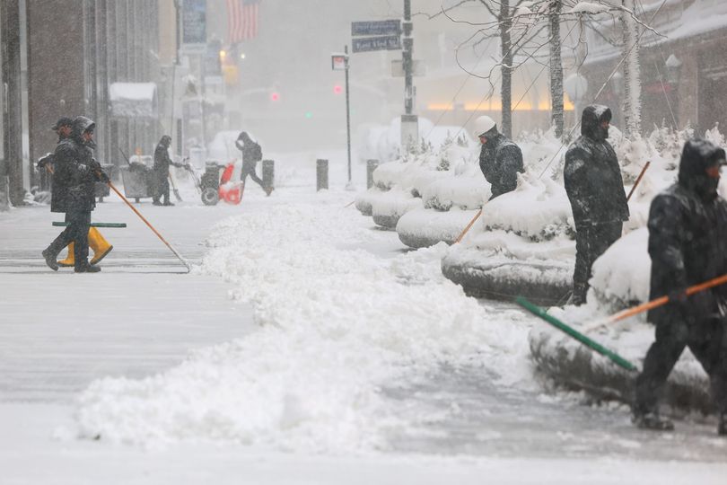

People shovel snow off a sidewalk near Grand Central Station during a blizzard on February 23, 2026 -Credit:Getty Images
(Getty Images)
A new winter weather advisory was issued for swathes of New York State as the region still reels from the heavy snow and gusts seen over the past weeks.
Forecasters warned that lake effect snow for parts of central and northern New York could create dangerous travel conditions during the morning commute.
Monday’s storm, which meteorologists are calling the strongest in a decade, dumped more than 2 feet (60 centimeters) of snow in parts of the Northeast.
By Tuesday, roads were beginning to reopen, mass transportation was coming back online in some cities and power had began to return for some of the hundreds of thousands that had lost electricity in Massachusetts, New Jersey, Delaware and Rhode Island.
• Cars swallowed whole by enormous sinkhole in front of shocked drivers
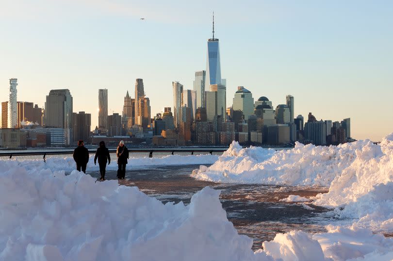
People walk in front of the skyline of lower Manhattan -Credit:Gary Hershorn/Getty Images
More snow on the way for frozen New York
The advisory calls for an additional 1 to 2 inches of snow in the most persistent lake effect bands.
While the totals may appear small compared with the weather of the last week, officials stressed that narrow, fast-moving bands of snow can quickly create slippery roads and dangerous driving conditions.
“Plan on snow-covered and slippery road conditions. The hazardous conditions will impact the Thursday morning commute,” the weather service said.
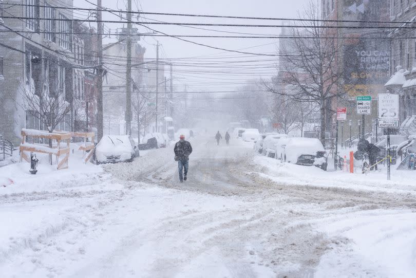
Heavy snow in the Brooklyn borough of New York City this week
Lake effect snow, driven by cold air moving across warmer lake waters, often falls in concentrated bands that can dramatically reduce visibility in one location while leaving areas just a few miles away dry.
Forecasters urged drivers to be prepared for sudden changes in weather, visibility and road conditions, especially during the early morning hours when temperatures hover near freezing and untreated surfaces can quickly ice over.
Where is the winter weather advisory covering in New York?
The advisory applies to Wayne, Cayuga and Oswego counties — areas that frequently experience lake effect snow due to their proximity to Lake Ontario.
Communities within these counties are particularly vulnerable to localized bursts of heavy snowfall that can make highways and secondary roads treacherous with little warning.
When will the advisory run until in New York?
The advisory took effect shortly after midnight Thursday and remains in place until 7 a.m., coinciding with peak morning travel times.
The storm was a bomb cyclone -Credit:Getty Images
The timing raises concerns about slowed commutes, minor accidents and delays as road crews work to clear accumulating snow.
New Yorkers wary after the bitter cold of the past week
Winter weather contributes to more than 6,000 weather-related vehicle fatalities and over 480,000 injuries nationwide each year, according to federal data.
Even small accumulations of snow and thin layers of ice can significantly increase stopping distances and the likelihood of crashes.
Officials recommend slowing down and assuming icy conditions when temperatures are near freezing. Drivers should fully fuel their vehicles and carry emergency supplies such as blankets, food, water and a flashlight.
Motorists are also advised to give snow plows ample room, avoid downed power lines and share travel plans with family or friends before heading out.