
Enjoy the temperate weekend, because a storm may be on the horizon for Monday.
The work week ended on a cold note, but temperatures turn around over weekend. No, it won’t be the 70° or 80° warmth like we had earlier in the week, but it will rise back to near-normal readings – near 50 degrees – both Saturday and Sunday.
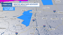
However, some in the northernmost reaches of the metro area could wake up to snow on Saturday. A winter weather advisory was issued for western Ulster County in New York through Saturday morning for snow accumulation of 3-6 inches, though accumulations will likely be on the lower end of that.
For the NYC area, wintry precipitation is much less likely as temps will be in the mid-40s.
Saturday will be the nicer day of the weekend, thanks to more sunshine than on Sunday. Though the wind will be a nuisance, with gusts up to 40 mph. Some areas well northwest of the city have a wind advisory in place, but for the rest of the area, it’s just a windy day with highs in the 50s.
If you’re running the New York City Half Marathon Sunday, look for temperatures in the 30s at the start of the race, with a slow warm-up into the mid-40s by mid-day. Don’t expect any sun on Sunday. Clouds will be stubborn, but that’s not a bad thing for runners. The good news is that the clouds won’t bring any rain. The race should be dry from beginning to end.

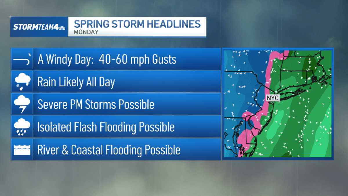
Those clouds will usher in a strong storm in time for Monday that could bring the possibility of damaging wind gusts and heavy rain from Monday through early Tuesday. All that rain could lead to flooding, especially along the coast and near rivers.
Rain is likely all day Monday and could stretch into Tuesday. Some of the storms in the afternoon could be severe and bring isolated flash flooding.
Just like this past week, a temperature crash can be once again expected after the system moves on. Highs go from the 60s to the mid-40s by Tuesday, making for some chilly St. Patrick’s Day celebrations.