
Conditions are favorable this weekend for elevated fire danger.
The National Weather Service has issued a fire weather watch for the Manhattan area Saturday through Sunday for expected low relative humidity and increasing winds.
Temperatures are expected to reach the low 90s on Saturday and the mid 70s to around 80 degrees on Sunday.
During his weekly appearance on News Radio KMAN, Kansas State University meteorologist Chip Redmond said
“You add into things like the freeze component, where we likely froze some of that wheat, we froze some of those cool season grasses. Those are going to die off,” he said. “They’re going to add dead vegetation to the landscape.”
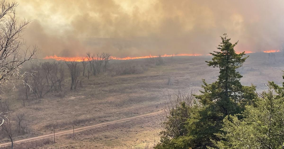
Instead of creating a barrier, fires will have a more clear path to burn because of the added components.
Additionally, Redmond said timber areas — places where people do prescribed burning — usually slow down and stop fires altogether. However, those too aren’t likely to provide a strong enough barrier to contain any out of control wildfires that may develop.
“If folks are thinking about doing burning, anticipate higher fire behavior,” he said. “You need more man power to suppress it and you’ve got to expect it to move faster.”
Humidity levels across north central Kansas could get as low as 10% this weekend with winds gusting up to 25 to 35 mph in some locations.
In case you’re wondering, Manhattan’s all-time record high temperature for the month of March is 95 degrees, recorded on March 25, 1907, according to the National Weather Service.