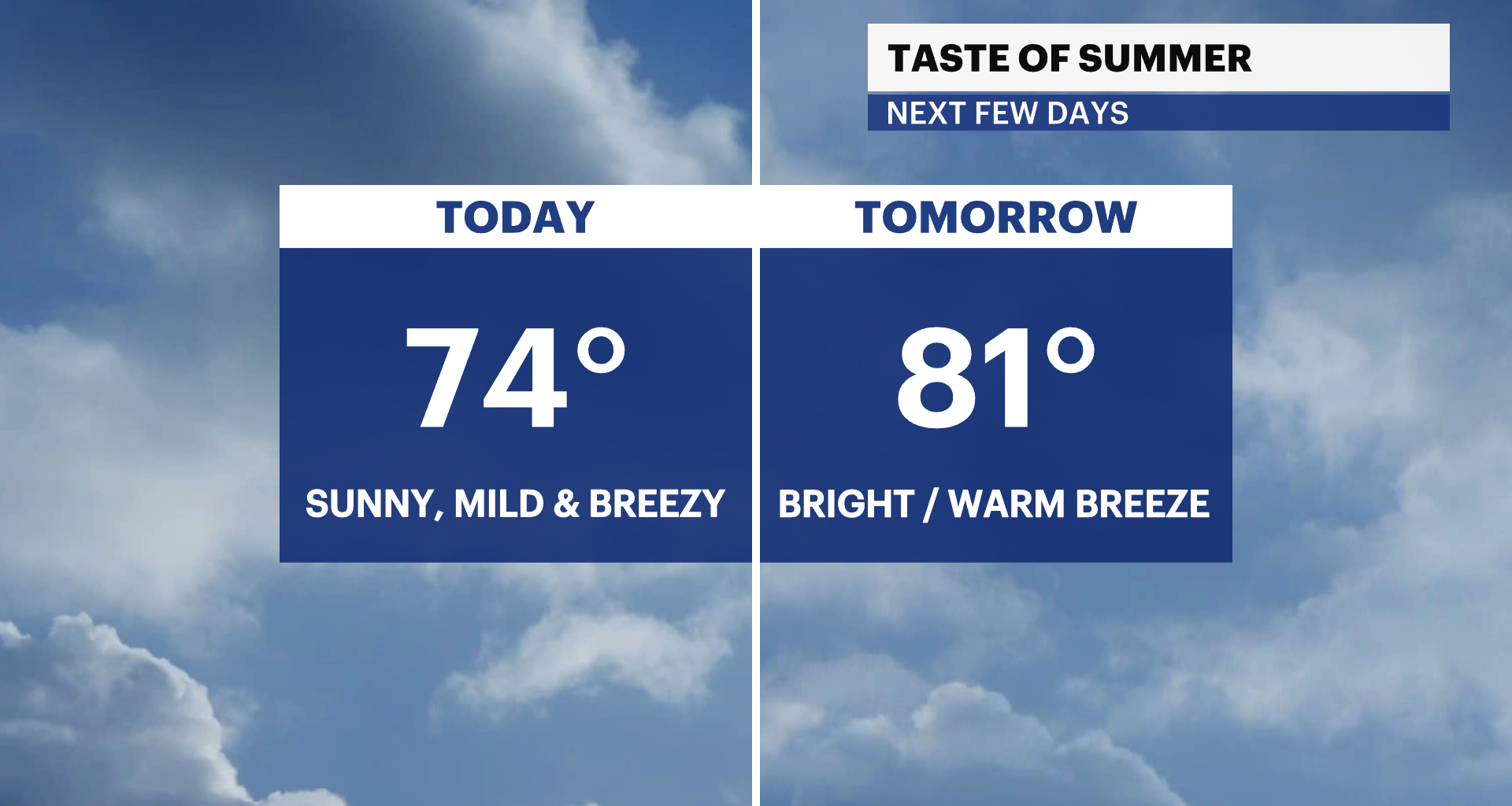
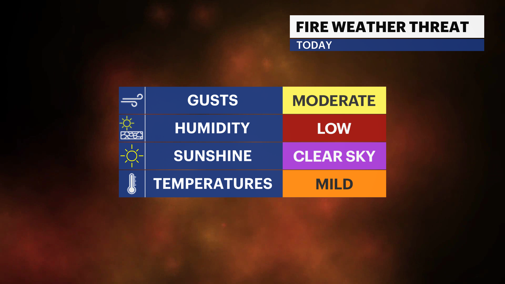
After an unseasonably cool weekend, temperatures climb into the mid-70s today. There’s an ongoing elevated risk of brush fires today. A combination of low humidity, gusty winds and current drought conditions will contribute to the risk of fire danger.
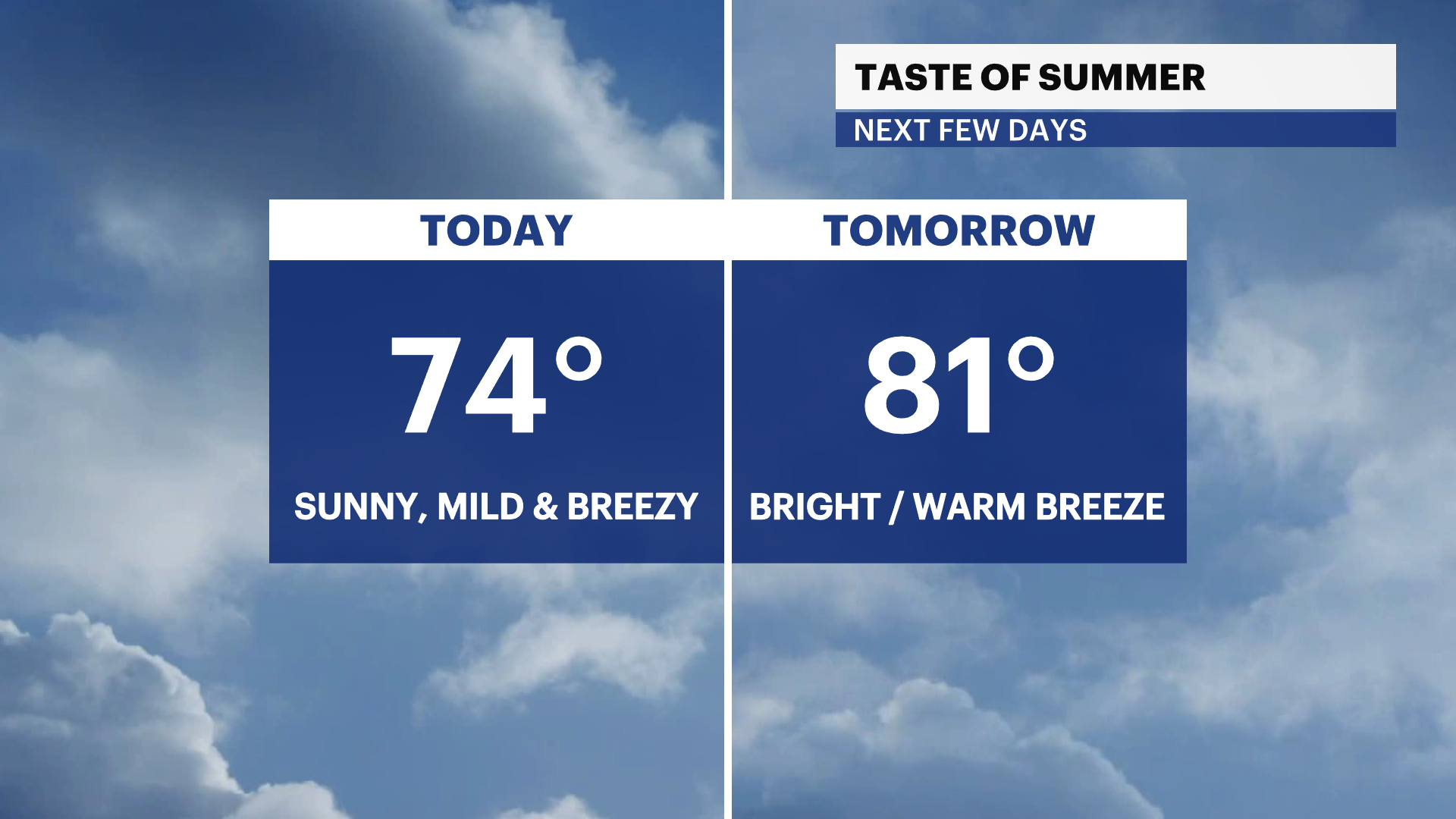
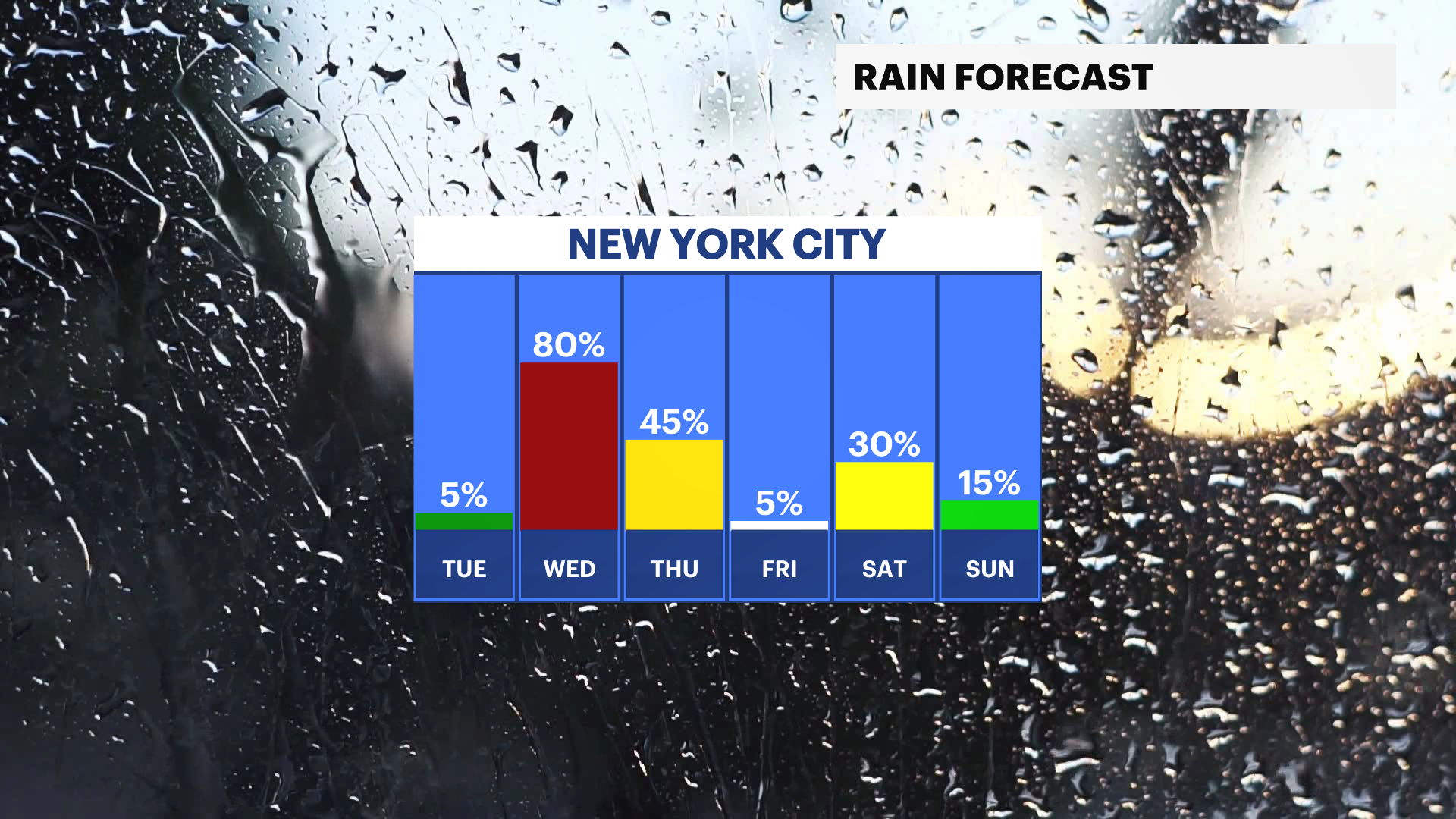
A summer preview arrives tomorrow with highs in the 80s and a warm breeze with gusts up to 25 MPH. Temperatures cool down to near normal in the upper-60s on Wednesday. Wet weather returns by the middle of this week with cooler temperatures in the 60s.
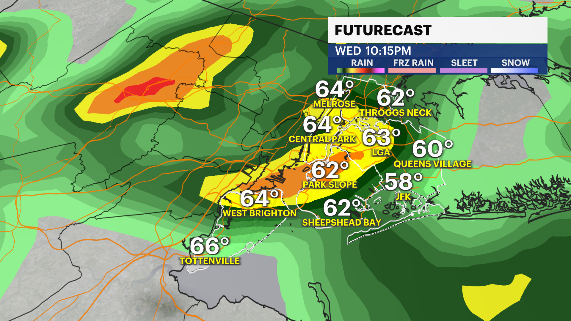
Some beneficial rain will arrive on Wednesday afternoon into Thursday. Some steady rainfall will bring puddles and ponding on the roads. 0.5″-0.75″ of rainfall is possible. Cooler temperatures in the mid- to upper 60s returns later this week into the weekend with a chance of rain. Stay tuned for updates!