
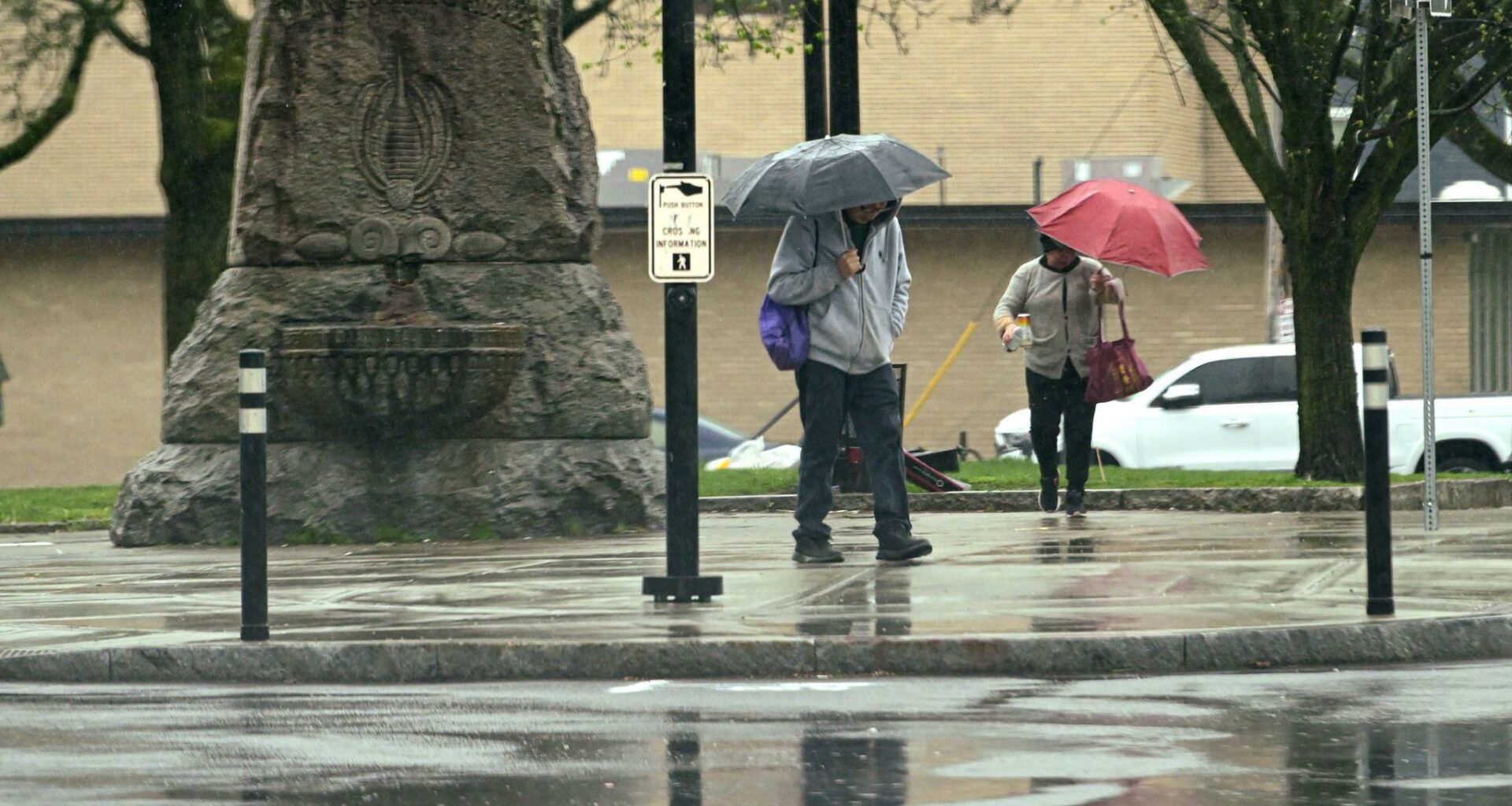
ALBANY — Severe thunderstorms are expected Tuesday evening in the Capital Region, bringing an end to a high risk for wildfires.
Rain and thunderstorms are expected Tuesday afternoon in areas north and west of the region, rolling into the Albany area closer to 4 or 5 p.m. or even after sunset, Michael Main, meteorologist with the National Weather Service in Albany, said Monday.
The cold front follows a warm front moving through the area on Monday, bringing temperatures into the 60s or lower 70s and wind gusts of 25 to 30 mph. Main said the wind gusts, as well as humidity as low as 30 to 35%, will cause an increased risk for wildfires in the Capital Region and Hudson Valley. A special weather statement for the fire risk was issued Monday morning by the National Weather Service.
“Anytime we have those dry, windy conditions, it means if a fire were to start, it could get out of control and spread quickly,” Main said.
For the month of April, the Albany area saw 2.15 inches of precipitation, about an inch below normal. Parts of the Adirondacks and Hudson Valley are under “abnormally dry” conditions, while some parts of the lower Hudson Valley are in a moderate drought, according to the U.S. Drought Monitor.
Fortunately, the thunderstorms are not expected to bring lightning strikes that could start a fire, but instead rain that should end that risk, Main said. The biggest threat is damaging winds with possible gusts up to 60 mph that could down tree limbs and power lines, he said.
“Most of the day tomorrow actually should be fairly warm and dry for most of the Capital District,” Main said.