
A strong storm will ramp up in New York City on Thursday, bringing drenching rain and high winds before a blast of cold air could bring several inches of snow to other regions in the state
03:29 ET, 30 Oct 2025Updated 03:29 ET, 30 Oct 2025
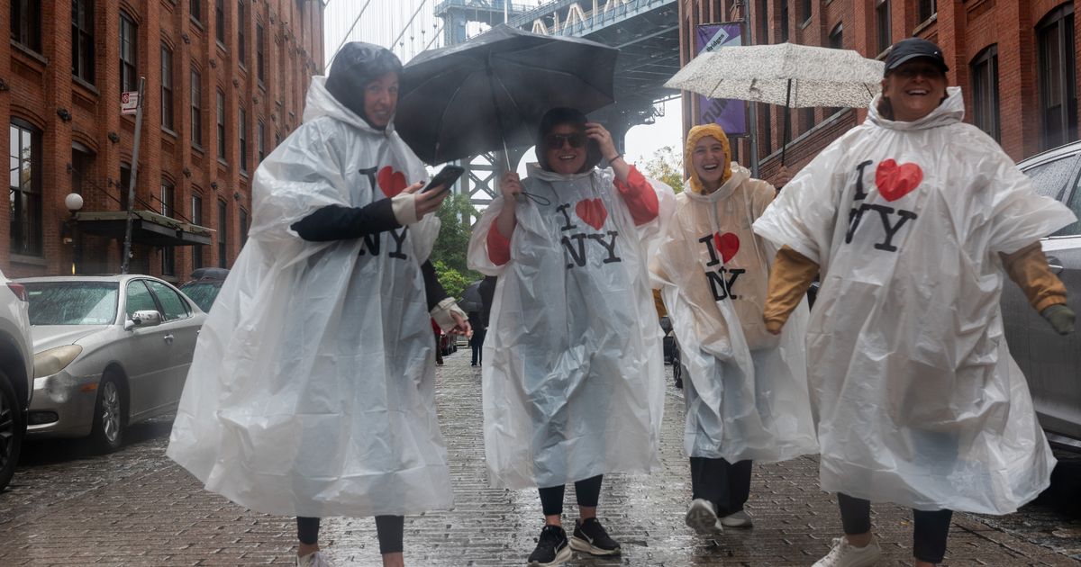
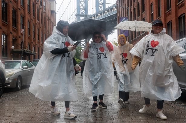 A wet and windy storm is making its way through New York ahead of the NYC marathon(Image: Getty Images)
A new storm is swinging into New York City on Thursday, bringing drenching rains and powerful wind gusts as the NYC marathon is just days away.
A powerful Nor’easter tore through the East Coast earlier this month, and now the region is set to be hit by similar conditions. This storm is not considered a Nor’easter because it is coming from inland areas and not the Atlantic coast, but it’s forecast to bring similar gusty winds and flood risks.
The storm system began pushing west from the Tennessee Valley and the Appalachians into the Mid-Atlantic on Wednesday, when New York City saw the first wave of rain. Conditions are set to intensify on Thursday, with flooding possible, before a powerful gust of chilly air later in the week could bring several inches of snow to some areas.
READ MORE: New Yorkers fear as Jamaica braces for Hurricane Melissa – could it hit New York?READ MORE: Moment ICE agent ‘tears ACL’ in horror fall while chasing detainee in handcuffs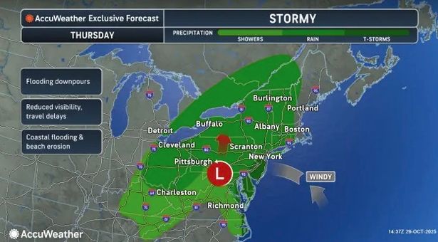 Storm conditions will intensify on Thursday Heavy rain hits NYC on Thursday as storm rolls in
While New York City has already seen a bit of wet weather, heavy rain is expected to hit on Thursday alongside high wind gusts. The New York City Emergency Management Department has issued a Weather Alert as the storm makes its way through the region.
“Avoid all flooded roads and subway stations. Turn around, don’t drown. Do not enter floodwaters,” the department warned. Thursday morning is forecast to start with some light rain, but this will pick up by late afternoon into early evening as a heavy band of rain pushes through the region, drenching the Hudson Valley down to Jersey Shore.
Up to an inch of rain could fall every hour as city officials may need to activate the Flash Flood Emergency Plan. On the coast, high tides between one to two feet above normal could also create minor flooding and beach erosion.
Drivers should be cautious as the combination of fallen leaves and wet conditions will make the roads extra-slick. Flooding could also occur where fallen leaves have blocked storm drains.
The combination of fallen leaves and wet conditions will make for extra-slick road conditions. Where fallen leaves block storm drains, street flooding can occur. The heavy rain and strong winds are likely to lead to airline delays in a busy corridor from Washington, D.C., to Philadelphia, Pittsburgh, New York City, and Boston, AccuWeather forecasters warn.
Blast of chilly air brings snow to New York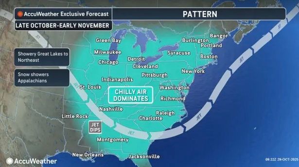 A blast of cold air will push into the region on the tail end of the storm
While the chance of rain is forecast to drop significantly by Friday, winds are expected to crank up. Wind gusts up to 40 mph are expected across the tri-state area by Thursday evening, with gusts even reaching 50 mph in some areas, but it’s expected to be even windier on Friday and Saturday.
The strong winds will make for some brisk trick-or-treating on Halloween, so those heading outdoors for the festivities are urged to wear several layers.
A burst of cold air will hit the region on the tail end of the storm. “In the higher terrain of the Appalachians, Adirondacks, Green and White Mountains, there will be some snow flurries as a chilly fall air invades the region during the latter part of the week,” AccuWeather Meteorologist Alyssa Glenny said.
Cold air could even rush into the strengthening storm as it moves over Atlantic Canada. Several inches of snow may fall on the higher terrain from northeastern New York to northern Maine, as well as southeastern Quebec, beginning as early as Thursday night.
Will the storm impact the New York marathon?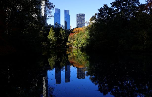 Conditions are set to improve just in time for the NYC marathon(Image: AFP via Getty Images)
More than 55,000 runners are set to take part in the NYC marathon on Sunday morning while an estimated two million spectators cheer them on. As the storm sets in, runners and spectators are likely concerned about the conditions, but forecasters have some good news.
The rain will have cleared up by Friday while the winds are expected to ease just in time for marathon in the morning. Runners will be able to set off from Staten Island and make their way through Brooklyn, Queens, the Bronx and Manhattan before finishing in Central Park while enjoying optimal weather conditions.
“Sunday is going to bring the best weather of the week,” Jay Engle, a meteorologist with the National Weather Service office in Upton, NY, told The New York Times. “It’ll be dry, and partly to mostly sunny with a light breeze.”
When runners begin the marathon on Sunday, temperatures will likely be in the 40s, climbing close to 50 degrees by midmorning. Central Park is set to hit a high of 57 degrees by the afternoon.
“It’s going to be kind of cool and dry,” Engle added. “It’s actually really good marathon weather because you don’t want it humid and unusually warm.”