
STATEN ISLAND, N.Y. — Staten Island residents should prepare for coastal flooding and heavy rainfall Thursday afternoon and evening as a frontal system moves through the region.
The National Weather Service has issued a coastal flood advisory for parts of the New York Harbor area from 1 p.m. to 5 p.m. Thursday.
Rain will intensify throughout Thursday, with the heaviest downpours expected late afternoon into early evening. According to the National Weather Service, rainfall rates could briefly approach or exceed 1 inch per hour, potentially causing nuisance flooding in urban and poor drainage areas. Total rainfall amounts of 1.5 to 2.5 inches are expected by Thursday night.
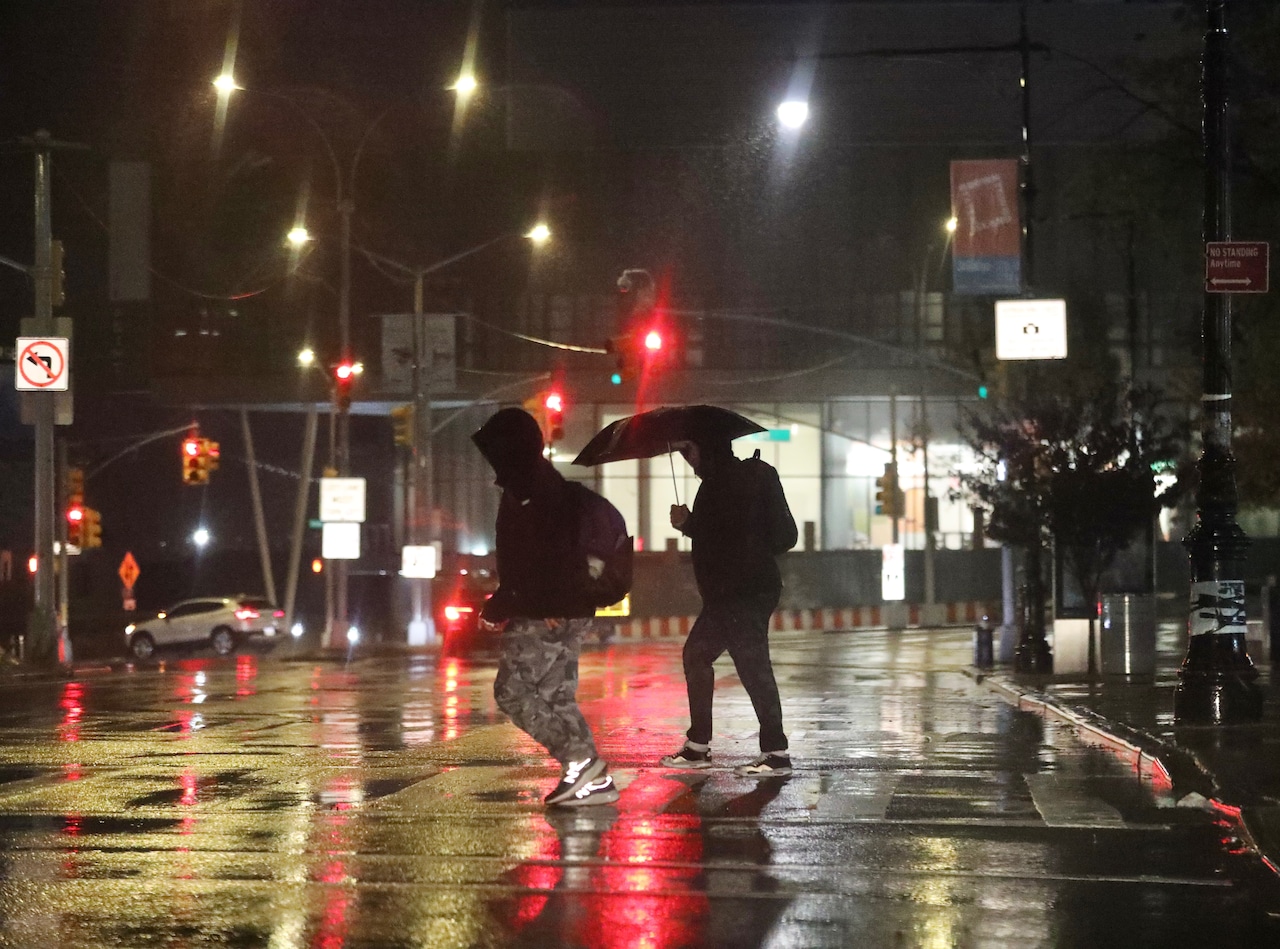 Rain soaks Staten Islanders on Thursday, Oct. 30, 2025. Commuters cross Bay Street in St. George.(Advance/SILive.com | Jan Somma-Hammel)
Gusty winds of 30 to 40 mph will accompany the storm, with gusts up to 50 mph possible along the immediate coastline.
The combination of heavy rain and strong onshore winds will create minor coastal flooding during Thursday afternoon’s high tide cycle. The most vulnerable locations across the Lower NY Harbor and western areas could exceed minor flooding benchmarks. Beach erosion is also possible with breaking waves of 5 to 7 feet along oceanfront areas during high tide.
Temperatures on Thursday will reach the upper 50s to lower 60s degrees across New York City before falling back into the 50s on Friday as the storm system moves away. Isolated thunderstorms are possible Thursday afternoon, though severe weather is not expected.
The rain will end from southwest to northeast Thursday night as the low pressure system exits into the Canadian Maritimes. Winds will pick up again on Friday from the west, with gusts potentially reaching advisory levels Friday afternoon.
The weekend forecast shows improving conditions with temperatures near seasonal levels on Saturday. Winds will remain gusty Saturday, particularly near the coast, with gusts of 25-30 mph and occasional gusts to 35 mph, diminishing in the afternoon and evening.
High pressure will build over the region Sunday through Monday, bringing more settled weather. The next chance for precipitation appears to be Tuesday as a cold front crosses the area, followed by high pressure returning Wednesday with seasonably cool conditions.
A draft of this story was generated using AI. It was reviewed, edited and approved by Advance/SILive.com staff.
 Rain soaks Staten Islanders on Thursday, Oct. 30, 2025. A person walks under an umbrella along Forest Avenue in West Brighton.(Advance/SILive.com | Jan Somma-Hammel)
If you purchase a product or register for an account through a link on our site, we may receive compensation. By using this site, you consent to our User Agreement and agree that your clicks, interactions, and personal information may be collected, recorded, and/or stored by us and social media and other third-party partners in accordance with our Privacy Policy.