
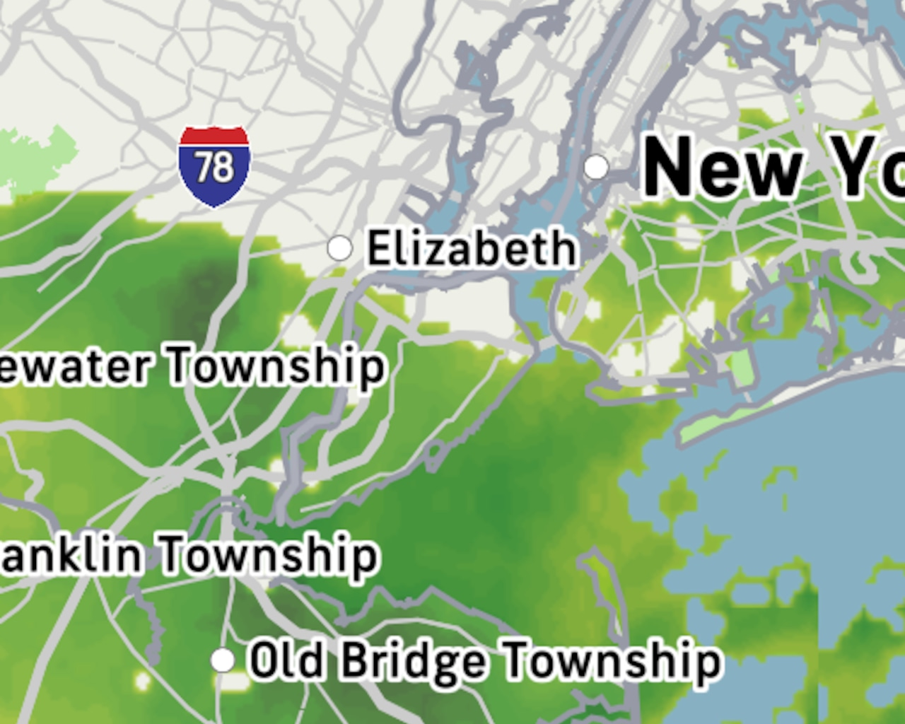
STATEN ISLAND, N.Y. — While a nor’easter is pummeling Staten Island today, with powerful winds and persistent rainfall, a meteorologist now predicts that the sun will return earlier than expected.
Before that happens on Tuesday, however, weather experts advise area residents to stay indoors if possible before the storm peters out.
The storm, which began Sunday afternoon, has already dropped about an inch and a half of rain across the New York City area, with more precipitation expected throughout the day, Tom Kines, AccuWeather senior meteorologist said.
“Most places have gusted over 30 miles an hour from the storm. There have been several places that have gusted over 40,” said Kines. “LaGuardia was 46, JFK was 44, and Central Park was 39.”
According to Kines, some areas along the bay have recorded even stronger wind gusts reaching 55 mph.
On a scale of weather quality, today ranks particularly low, Kines joked. “I guess on a scale of 1 to 10, today’s probably a zero,” Kines chuckled. “It’s going to rain a good chunk of the day. The wind’s going to stay pretty strong. And yeah, I think it’s one of those days that if you have the option of staying in, it’s probably the best thing to do.”
AccuWeather predicts another quarter to half inch of rain throughout today, bringing potential totals to around two inches for the entire weather event.
“That’s a pretty significant amount. That’s almost half of what we should be getting in the month of October,” Kines explained.
The poor weather is expected to persist throughout most of the day.
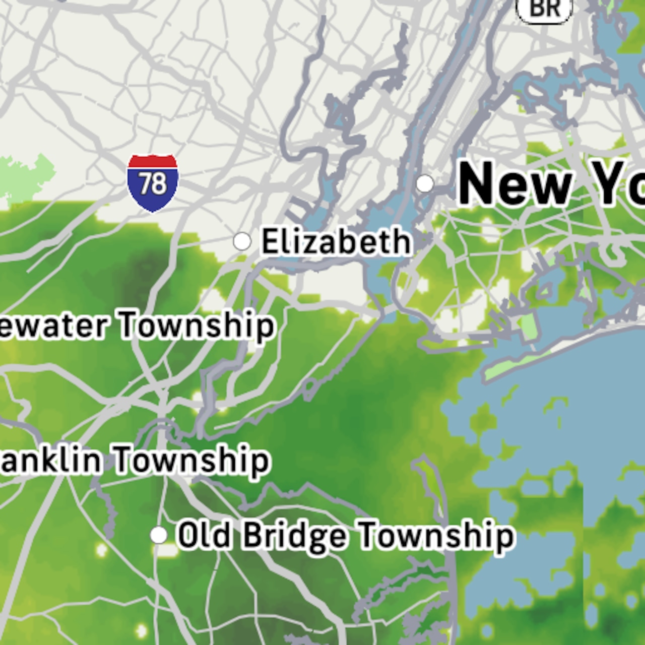 The map above shows the storm system that has brought nearly two inches of rain to Staten Island.AccuWeather
Current temperatures are hovering in the mid-50s and aren’t expected to fluctuate significantly, with highs reaching only the upper 50s before dropping back to the mid-50s overnight.
Storm to clear out Tuesday
Despite today’s dreary conditions, Islanders can anticipate gradual improvement beginning Tuesday.
“While it may start off damp, I think there’s a drying trend tomorrow. With some luck, we’ll see a few peeks of sunshine later in the day,” Kines said.
The wind is expected to “gradually subside tonight.” Kines believes the strongest winds have either already occurred or will happen during the daytime hours today.
By Tuesday, temperatures should climb to the lower or middle 60s. Wednesday promises even better conditions, with Kines expecting temperatures in the mid to upper 60s and abundant sunshine.
“If the sun does not come out tomorrow, it certainly will on Wednesday,” Kines assured. “Wednesday looks like a great day.”
If you purchase a product or register for an account through a link on our site, we may receive compensation. By using this site, you consent to our User Agreement and agree that your clicks, interactions, and personal information may be collected, recorded, and/or stored by us and social media and other third-party partners in accordance with our Privacy Policy.