
The 2025 TCS New York City Marathon will take runners on a 26.2 mile route across the five boroughs this Sunday, Nov. 3.
The maps below show a detailed look at the start on Staten Island, the full course around the city and the finish line inside Central Park.
As a reminder, the race also brings extensive road and bridge closures citywide.
Where does the NYC Marathon start?
The marathon starts this Sunday morning in Fort Wadsworth, Staten Island. The first wave kicks off with the men’s professional wheelchair division at 8 a.m.
Runners are urged to take the Staten Island Ferry to access the starting area. Ferries depart from the Whitehall Ferry Terminal in Manhattan, and then shuttle buses take runners directly to School Road at Bay Street.
Spectators are not allowed in the starting area. If you’re hoping to watch the first leg of the race, organizers say you can line up along Fourth Avenue in Brooklyn, where runners will come across the Verrazzano-Narrows Bridge.
Find more details about the starting area here.
Map shows the full NYC Marathon route for 2025
The 26.2-mile course travels from Staten Island across the Verrazzano into Brooklyn, then over the Pulaski Bridge into Queens.
From there, it follows the Queensboro Bridge into the East Side of Manhattan, the Madison Avenue Bridge up to the Bronx, and the Willis Avenue Bridge down to the West Side of Manhattan.
All five bridges will be closed, along with dozens of roads along the route.
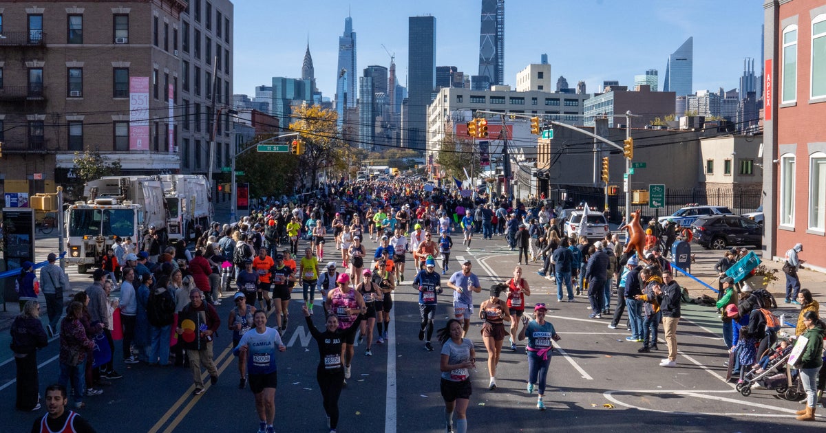
Two million spectators are expected to line the course with signs and cheers for the 50,000 runners.
CLICK HERE for a full map of the route, and HERE for the best viewing areas.
Where is the NYC Marathon finish line?
The marathon finishes inside Manhattan’s iconic Central Park near West 67th Street.
Spectators will be able to watch the final stretch inside the park from Columbus Circle to the south end of the grandstands, approximately 500 feet before the finish line. Grandstand tickets are also available for a front row seat at the finish.
The general viewing area is accessible via Broadway at West 61st or 62nd streets, or from the east side via the Central Park path by Heckscher Fields.
Runners will then exit the park at West 77th Street after the race.
Find a closer look at the finish line here.
Watch a video preview of the course
TCS New York City Marathon Course Preview by
New York Road Runners on
YouTube
Organizers shared this video highlighting the exact course that runners will travel on race day.
Does the NYC Marathon route change each year?
No, the route typically stays the same. But, it has changed some over the years.
The race started in 1970 as a run around Central Park. Then in 1976, it expanded across all five borough.
Back in 2008, a corral system was introduced to assign runners slightly different routes from Bay Ridge, Brooklyn. They all merge, however, by mile 8.
More from CBS News