
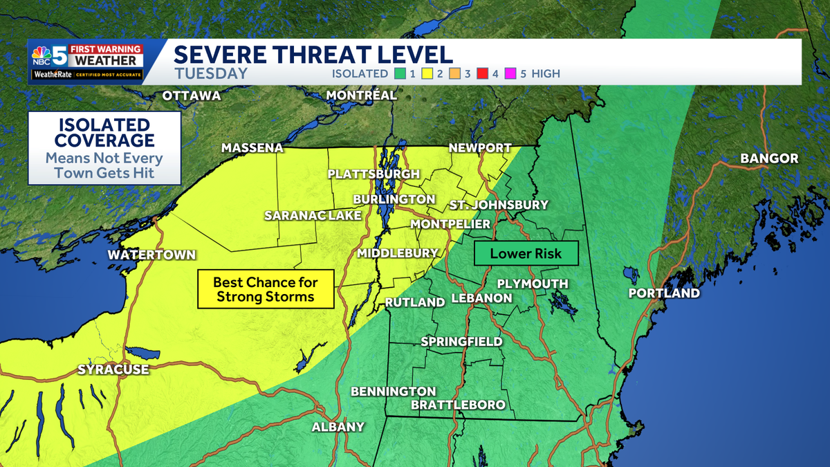
A warm and humid Tuesday could bring a few strong thunderstorms late in the day for Vermont and northern New York.The main window to watch is 4 p.m. to 8 p.m. Not everyone will see a storm, but any storm that does get going could produce strong, damaging wind gusts and heavy rain.The setup is still uncertain. We will have plenty of warmth and humidity, along with strong winds above the ground, but storms need a trigger to form. The best chance for that may be near the mountains or along lake-breeze boundaries.For outdoor plans, evening sports, and the ride home, keep an eye on the sky and have a way to get alerts. The storm risk fades quickly after sunset.Behind this system, much cooler air arrives for the middle and end of the week.
A warm and humid Tuesday could bring a few strong thunderstorms late in the day for Vermont and northern New York.
NBC5 News
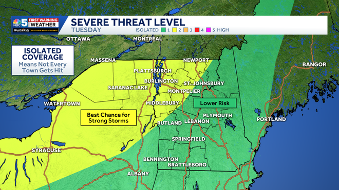
Risk for strong to severe thunderstorms Tuesday afternoon.
The main window to watch is 4 p.m. to 8 p.m. Not everyone will see a storm, but any storm that does get going could produce strong, damaging wind gusts and heavy rain.
NBC5 News
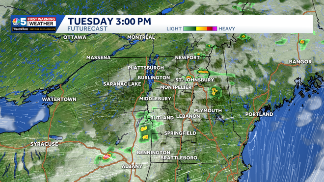
Storm coverage remains isolated through Tuesday afternoon.
The setup is still uncertain. We will have plenty of warmth and humidity, along with strong winds above the ground, but storms need a trigger to form. The best chance for that may be near the mountains or along lake-breeze boundaries.
For outdoor plans, evening sports, and the ride home, keep an eye on the sky and have a way to get alerts. The storm risk fades quickly after sunset.
NBC5 News
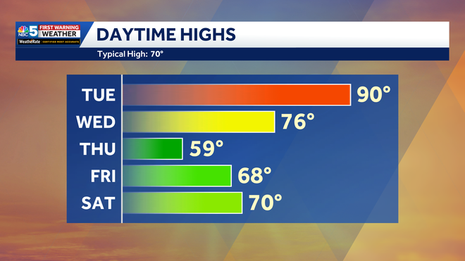
High temperature trend through the next five days.
Behind this system, much cooler air arrives for the middle and end of the week.