
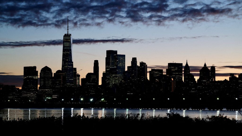
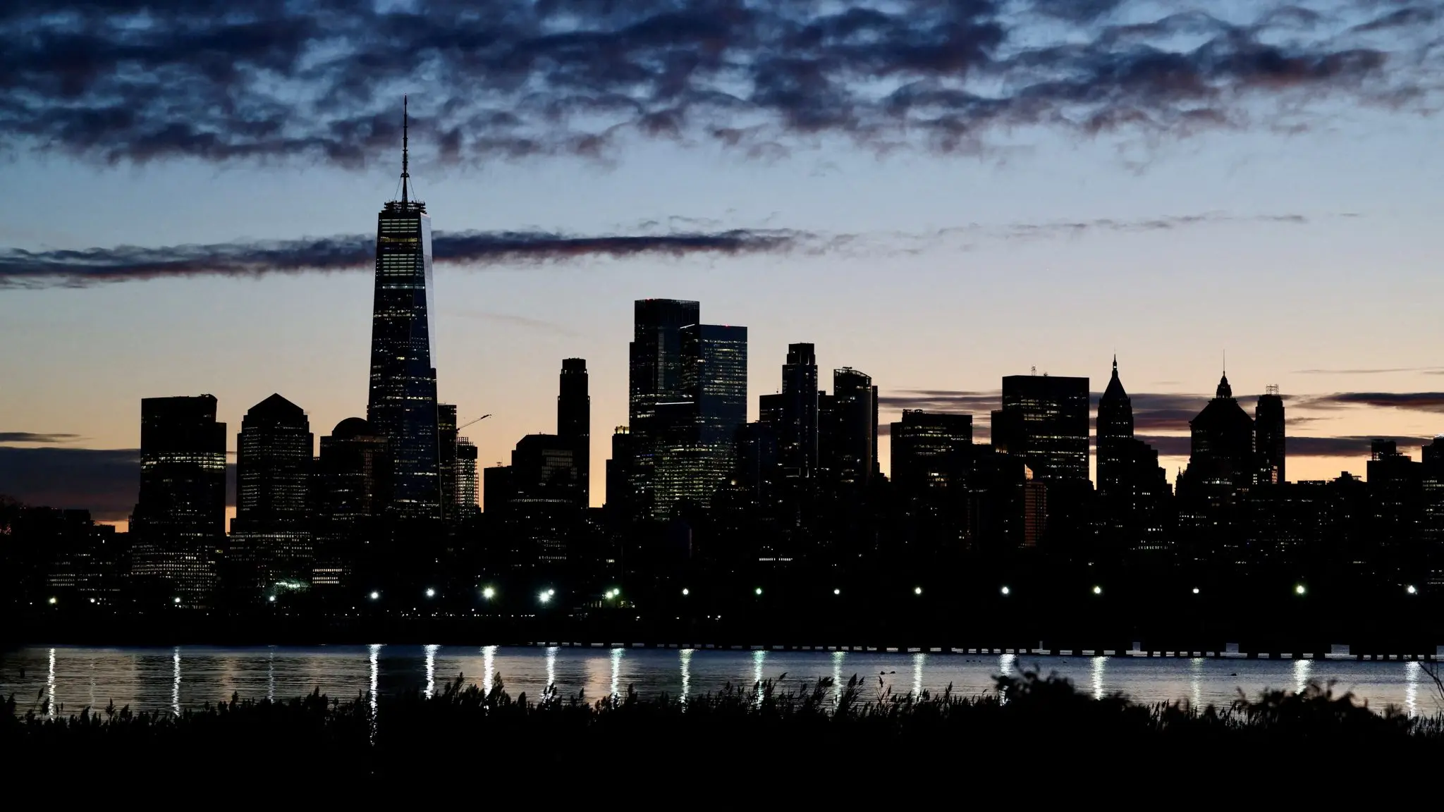
The skyline of Lower Manhattan is seen at dawn from across the Hudson River in New York City, U.S., October 18, 2025. REUTERS/Kevin Coombs
(New York, New York) – New York City is heading into a warmer and more humid stretch, with late-week heat likely to feel like the first real summer test of June.
Tuesday stays relatively comfortable by mid-June standards, but humidity builds Wednesday and Thursday as warmer air pushes up the East Coast. By Thursday and Friday, highs around the city could climb into the 90s, with the heat index making it feel hotter in spots away from the immediate shoreline.
Storm chances also return as the pattern turns more unsettled. The highest concern is for scattered afternoon or evening thunderstorms late week, especially if a front arrives while the air is still hot and humid.
Anyone commuting, working outdoors or planning evening events should keep an eye on timing updates. The main practical message is to take the heat seriously by Thursday, then watch radar for storms that could slow travel before cooler air tries to settle in.