
Wednesday marks the beginning of a very summer-like turn to the weather in the tri-state.
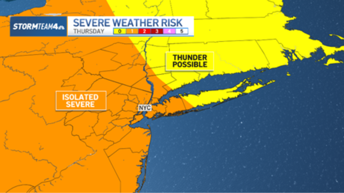
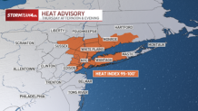
With it comes higher humidity, extreme heat and the chance for strong to severe storms. On Thursday, a heat advisory goes into effect for a portion of the tri-state.
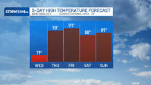
Air temperatures will break 90 degrees starting Thursday, but the difference between the heat this week and what we’ve faced during earlier hot spells is that humidity levels are going to spike, too.
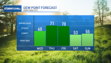
The best indicator of just how muggy it’s going to feel is to look at dew points. The higher the dew point, the higher the humidity. When we approach or exceed a dew point of 70, the humidity is stifling.
So, when you combine 90-degree heat and dew points in the 70 range, the heat index skyrockets. On Thursday and Friday, in particular, the heat index will be between 95 and 100 degrees outside during the hottest part of the day.
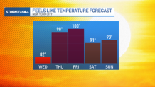
Be sure to limit your time outside and keep your activity levels low to avoid any heat-related illnesses.
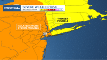
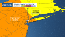
The combination of heat and humidity will promote instability in the atmosphere, too. As a result, scattered storms will develop late Wednesday, Thursday and Friday before we dry out this weekend.
Damaging straight-line wind will be the main threat from the strongest storms that develop. Gusts could top 60 miles per hour could lead to downed trees, branches and power lines.
By the weekend, humidity levels will drop and, although temperatures will be near 90 degrees, we should drop below heat advisory thresholds. Rain chances drop to near zero, too.
That’s great news for those attending the areas first World Cup soccer match on Saturday, the Puerto Rican Day Parade on Sunday, or any other outdoor activity around the region.